Lambeth Palace’s newish library building currently has an exhibition of old maps showing how this part of London developed over the centuries.
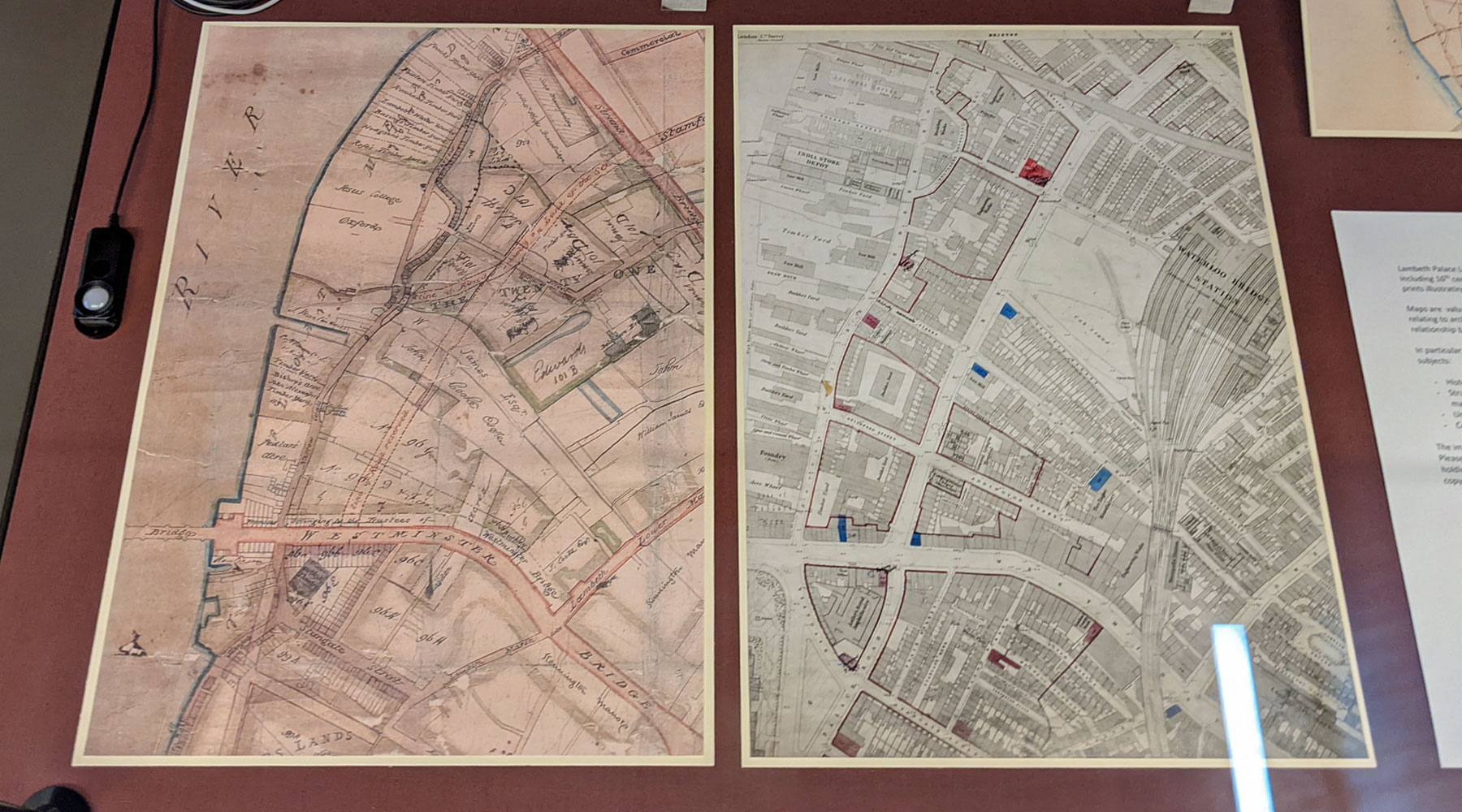
The collection ranges from the 17th to 19th century, from when all around here were fields through the arrival of the railways to modern social planning maps. The development of Lambeth Palace and its estates is also featured from woods in Camberwell to Timber yards in Waterloo.
The exhibition is in four cases, each with light protection shields, so you lift each in turn to see the wonders hidden beneath. Press the small button in front of the case, and as the small lights switch on, the maps seem to come alive as the colours leap out at you. Its as if they switch from black and white to full colour.
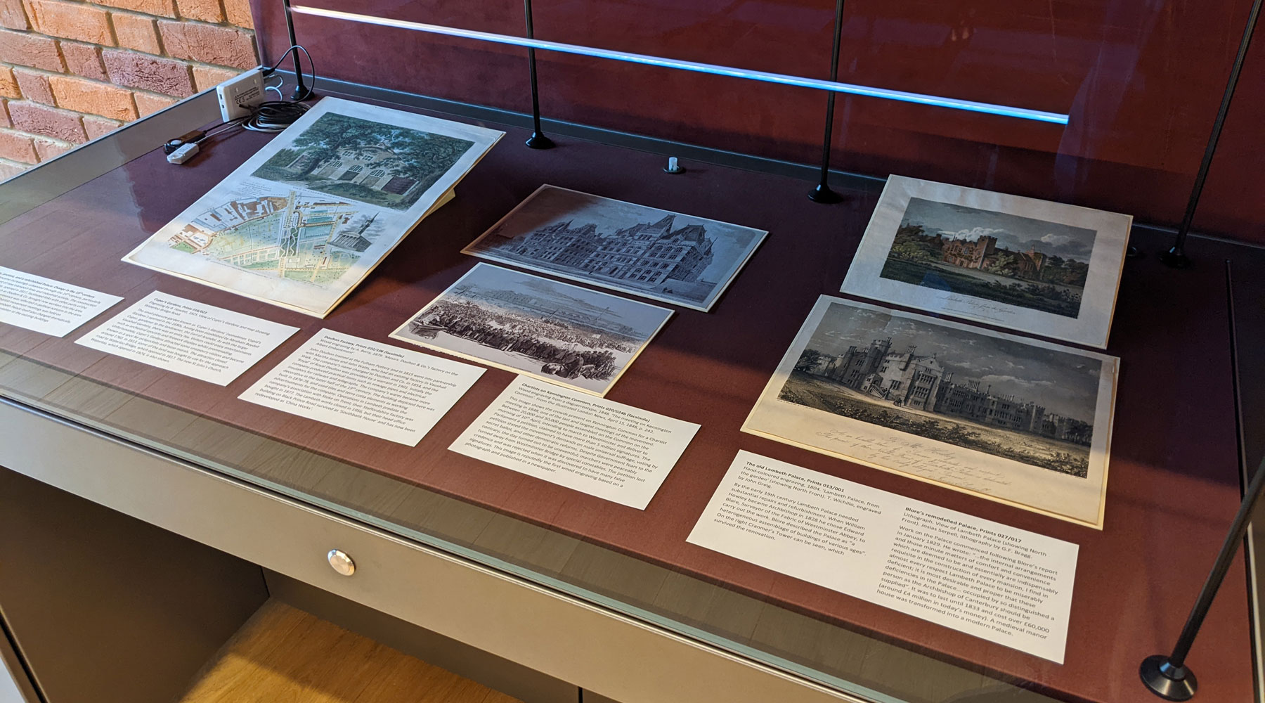
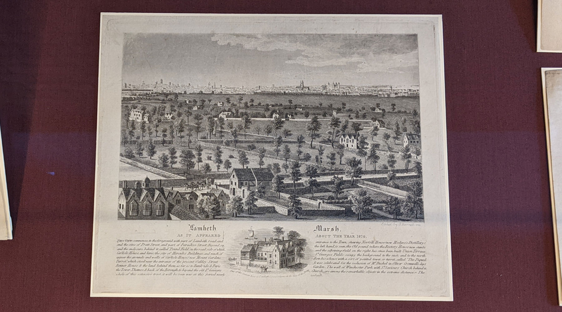
It’s not just maps, but also some panoramas of the local area, and the print of Lambeth Marsh from around 1870 really shows how the area was a low populated landscape with the cities of Westminster and London in the distance.
Some show long-lost buildings and parks that were absorbed by the growing population, and the final part of the exhibition contains images from the archives of the Church Commissioners and broadens the scope to the 1960s housing estates that were built in Park Hill, Croydon and Hyde Park.
As an exhibition, it’s a good mix of documents and gives fresh insights into the area. It’s also a good excuse to visit the Archbishop of Canterbury’s new library building.
The exhibition, Layers of Lambeth: A look at the collections runs until the end of September and is open Monday to Friday 9.30am to 5pm. Entry to Lambeth Palace Library is free.
Note that the doors into the library are opened by the reception desk, and the exhibition is on the first floor landing. The entrance is on Lambeth Palace Road, a short walk from Waterloo or Lambeth North stations.


Should you not be able to make it yourself to see these maps, then you can see every old UK map at the National Library of Scotland and this is the link for Lambeth:
https://maps.nls.uk/view/229949411
This map is only showing as a fuzzed version for retail. Is there access to full version?