For a few weeks there’s a display of some of the grand building projects that defined London as a city. From ancient to very modern, lost and still standing.

Starting with Wren’s St Paul’s Cathedral, this exhibition delves into the historical collections at London Metropolitan Archives to present the plans, drawings and photographs that record the development of some of London’s greatest buildings and structures
The images on the boards are impressive, but there are nuggets in the text that might make you stop and think. The M25, that famous ring road around London (that’s not actually a motorway all the way around), was nearly the M16 in North London and the M25 in South London.
They merged two motorways into one.
Although not legally the boundaries of London, I personally treat it as if it is the de-facto boundary, a clear line within and without that loops around the greater city.

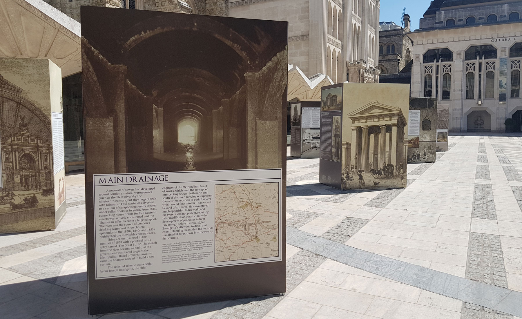
The display also includes items such as the Thames Barrier, the sewage network, and lost buildings such as Ranleagh Gardens.
The display is open all day until 13th July in Guildhall Yard, then it moves to the new Aldgate Square from 15th July to 5th August.


Yes, the M25 is an amalgam of the half-built portions of two of the 5 London motorways planned. You can see the kinks in the map where they swerve to join.