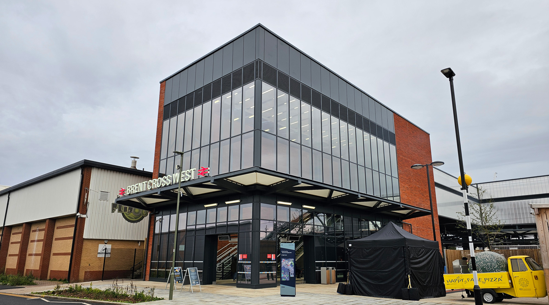
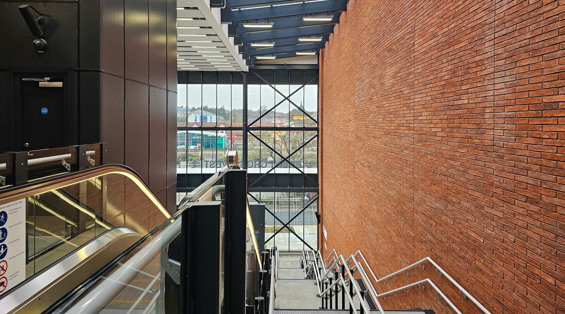
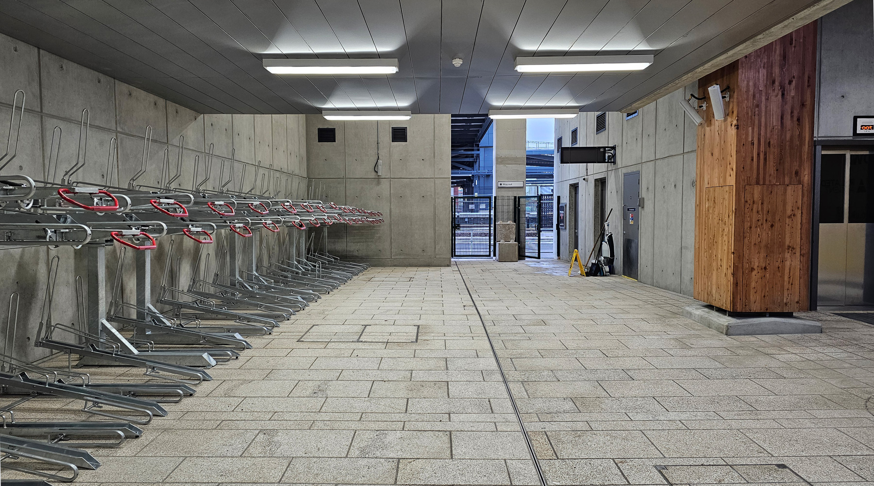
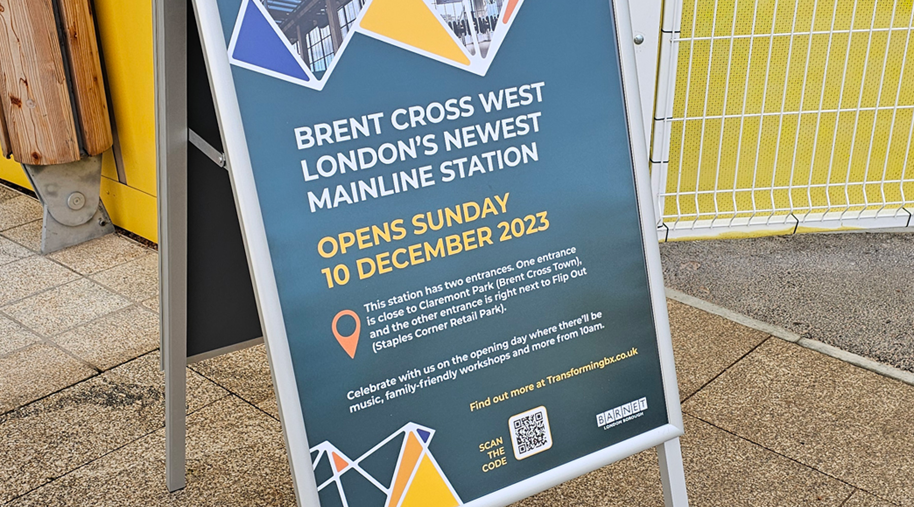
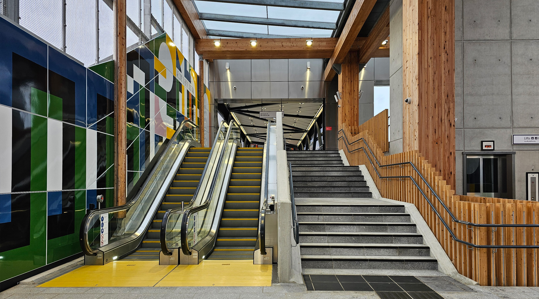
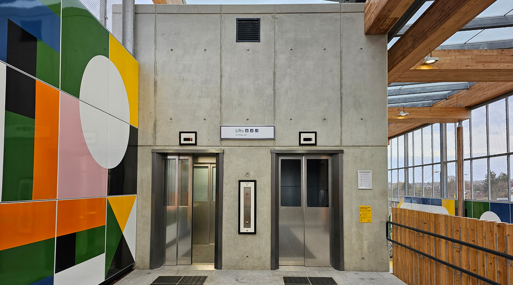
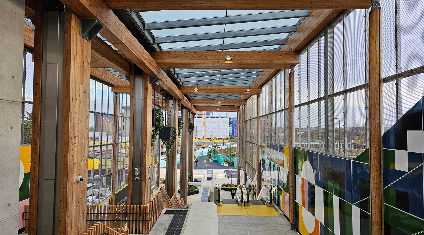
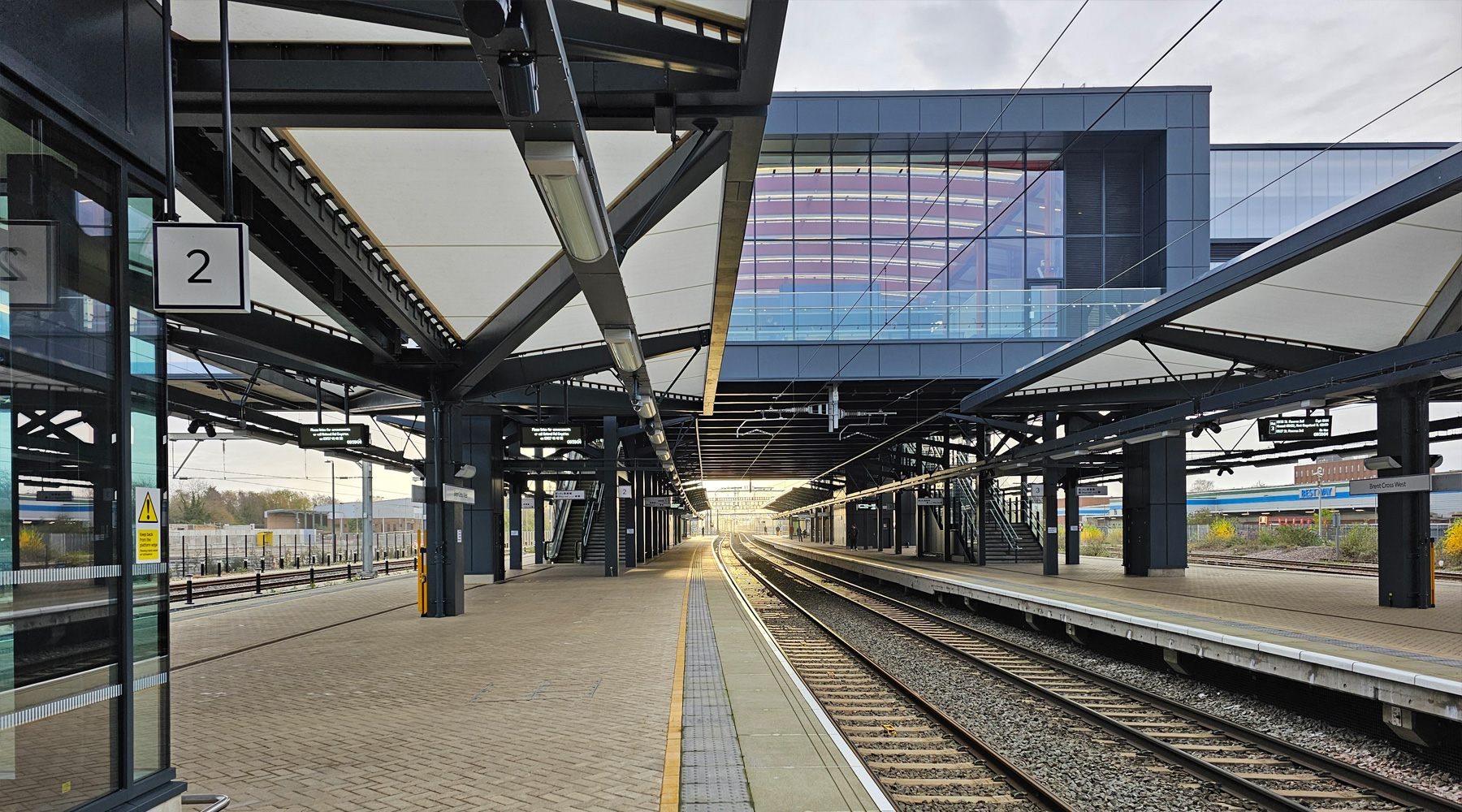
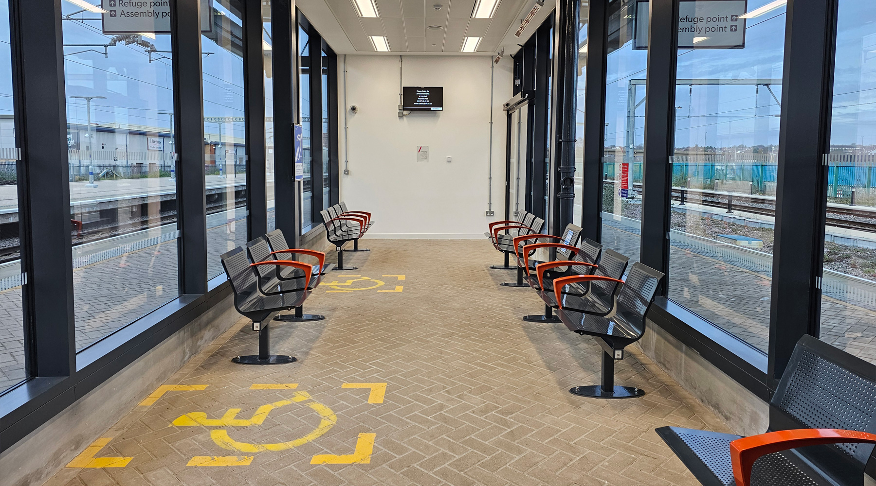
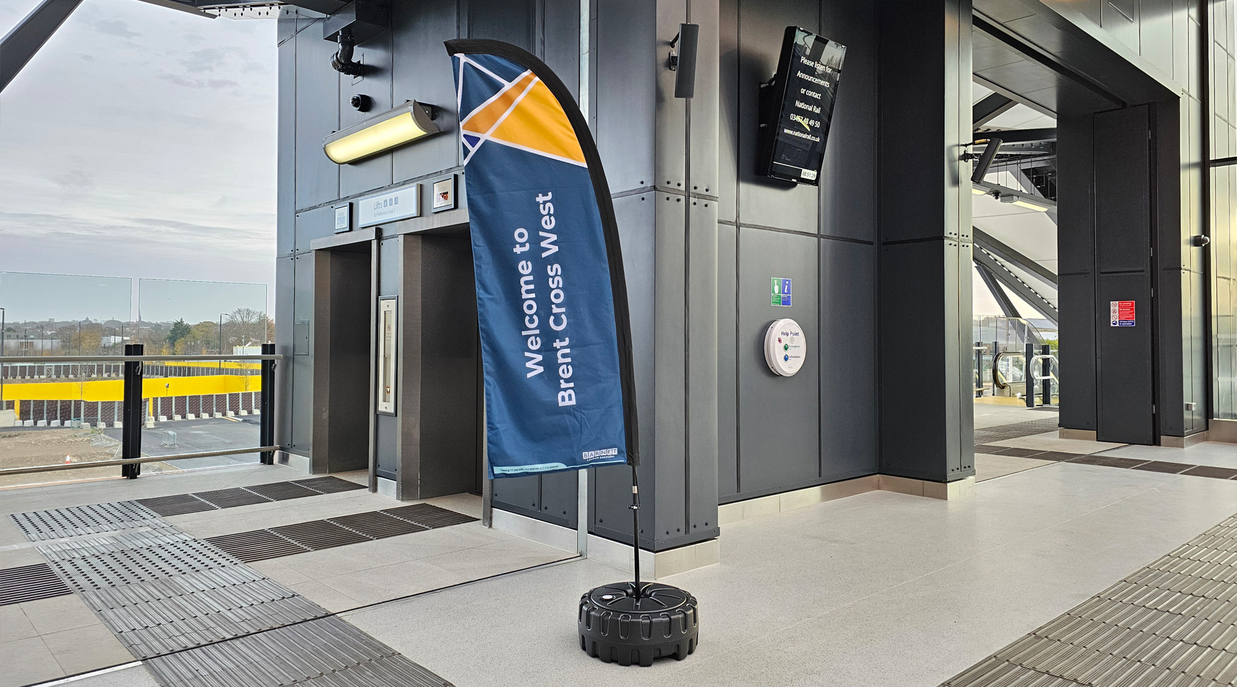
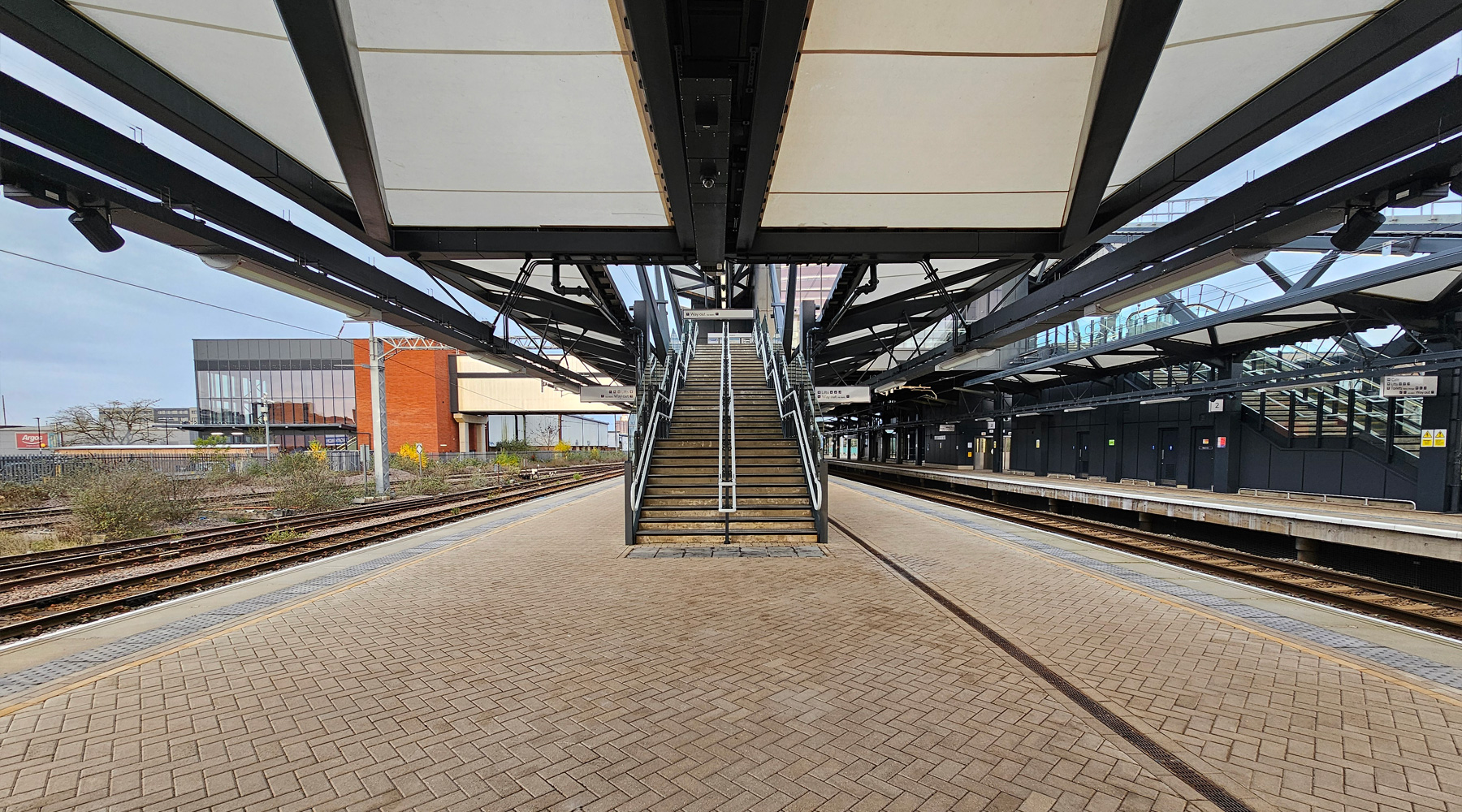
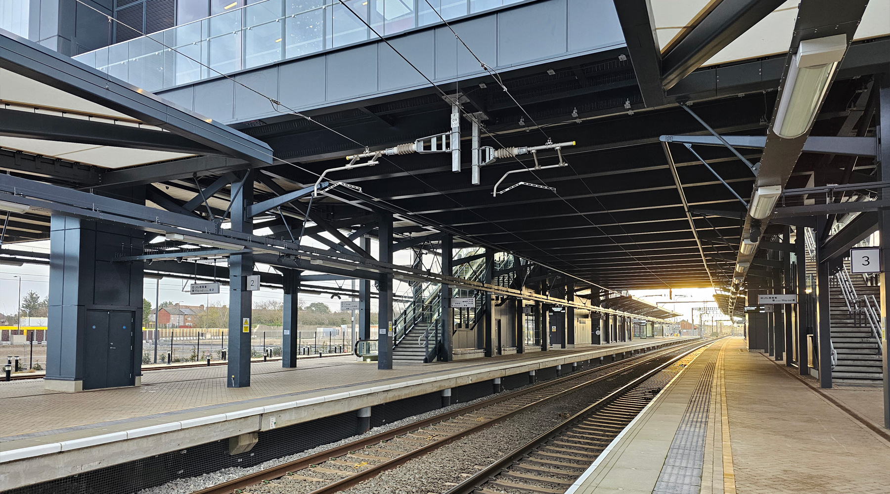
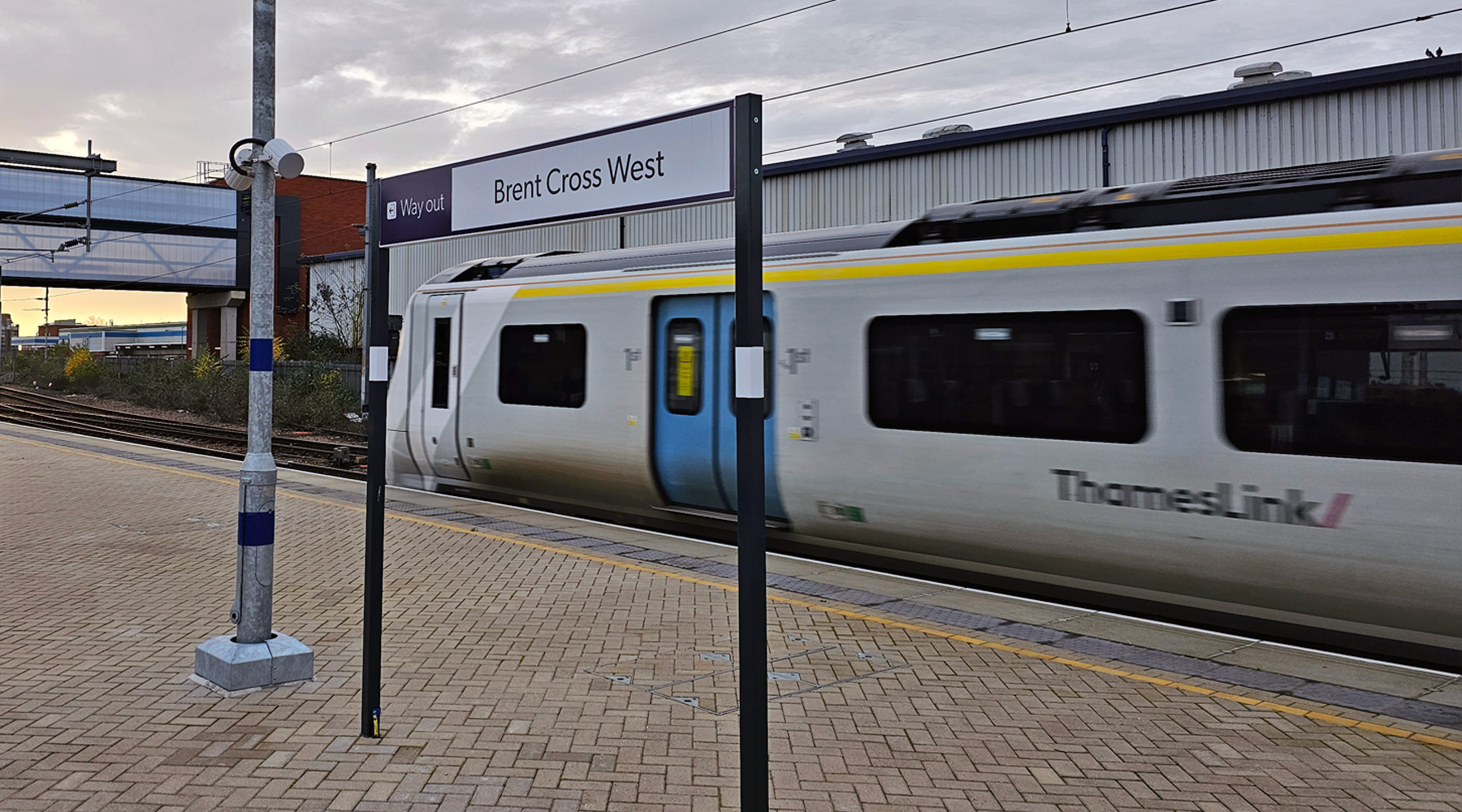
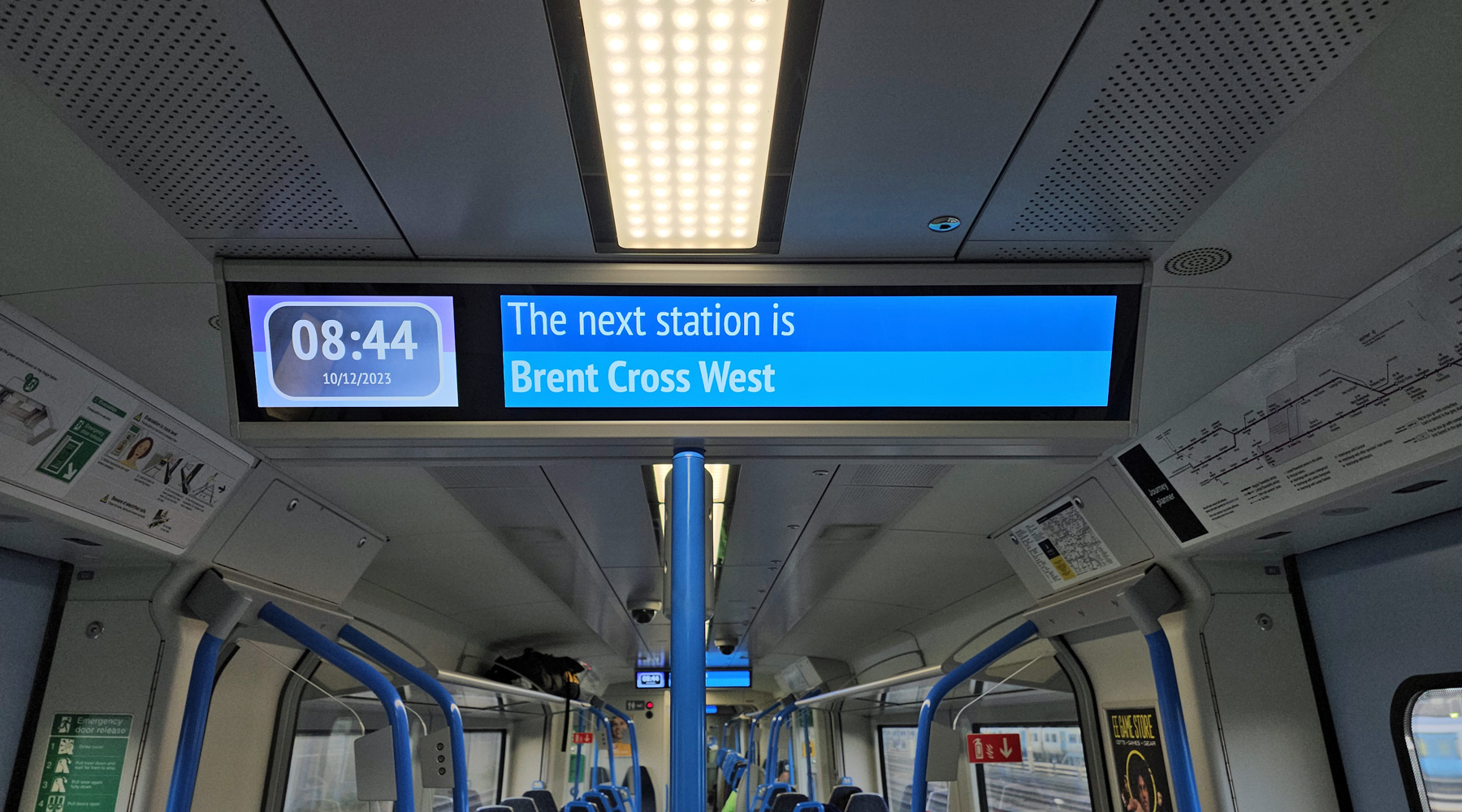
Yesterday, London’s newest railway station opened, sitting next to a future housing development for thousands of people.
I’ve written more in-depth about the station and how it was built here, so here are twenty photos taken on the morning the station opened to show the final product.
This website has been running now for over a decade, and while advertising revenue contributes to funding the website, it doesn't cover the costs. That is why I have set up a facility with DonorBox where you can contribute to the costs of the website and time invested in writing and research for the news articles.
It's very similar to the way The Guardian and many smaller websites are now seeking to generate an income in the face of rising costs and declining advertising.
Whether it's a one-off donation or a regular giver, every additional support goes a long way to covering the running costs of this website, and keeping you regularly topped up doses of Londony news and facts.
If you like what you read on here, then please support the website here.
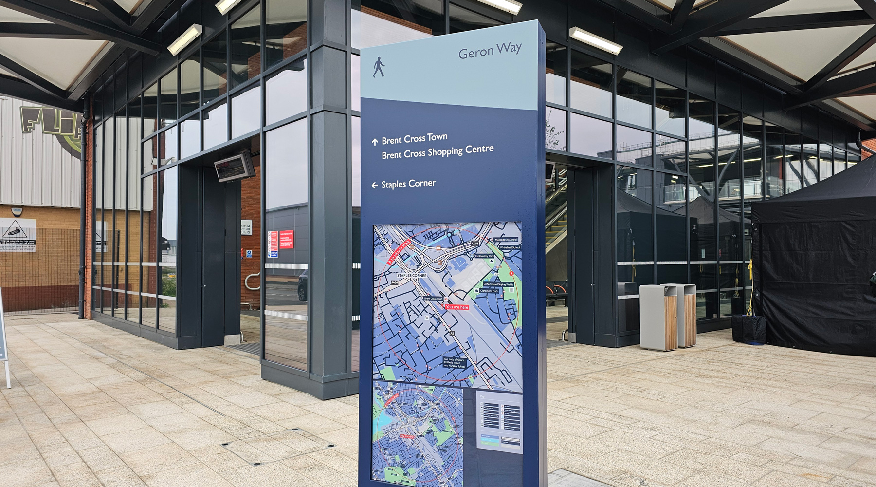
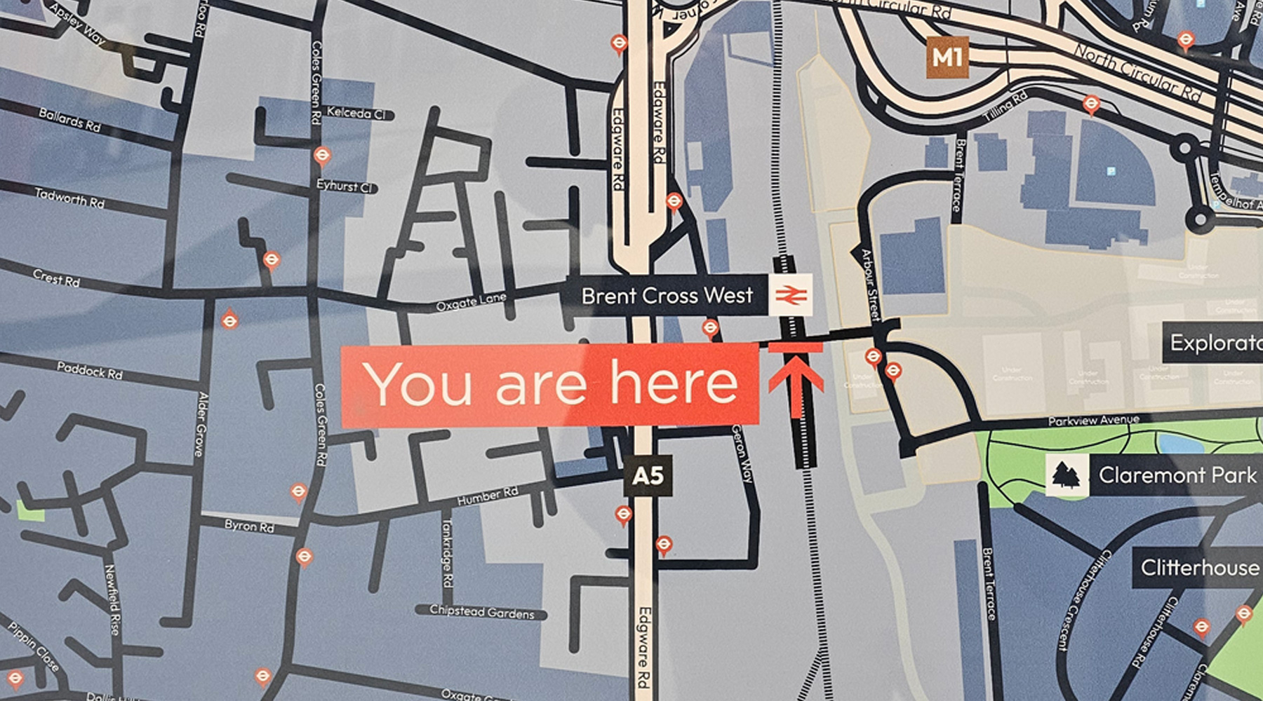
Interesting that Brent Cross shopping centre is signposted. Is there a nicer route to walk there now, and cross the various busy dual carriageways, and will this be marketed (by the centre as well as railway) as a station to access it?
The sat views of the area on Google Maps haven’t been updated and are confusing. Bing maps a bit better (you can see where the work is happening for Brent Cross Town)
About a 15 minute-walk via Tempelhof Avenue. Not an especially pedestrian-friendly route, particularly in the rain!
For buses you’d need the 266 on Edgware Road or the 102/189/C11 on Claremont Road. At least until the 189 is rerouted to serve the station early next year.


Looks great.
Interesting that Brent Cross shopping centre is signposted. Is there a nicer route to walk there now, and cross the various busy dual carriageways, and will this be marketed (by the centre as well as railway) as a station to access it?
https://transformingbx.co.uk/new-footpath-opens/ says the answer is “yes”.
No, this is a footpath to Claremont Park and tilling Road. Not the shopping centre (which is opposite side of North circular to the retail park)
Although years ago this development is meant to connect up.
These photographs are excellent! Brent Cross West is very beautifully designed!
I like the photograph of the Brent Cross West badges! Are there any still available? I would like to order one!
The sat views of the area on Google Maps haven’t been updated and are confusing. Bing maps a bit better (you can see where the work is happening for Brent Cross Town)
How long does it take to get from this station to the Shopping Centre? It looks quite a long way away
About a 15 minute-walk via Tempelhof Avenue. Not an especially pedestrian-friendly route, particularly in the rain!
For buses you’d need the 266 on Edgware Road or the 102/189/C11 on Claremont Road. At least until the 189 is rerouted to serve the station early next year.
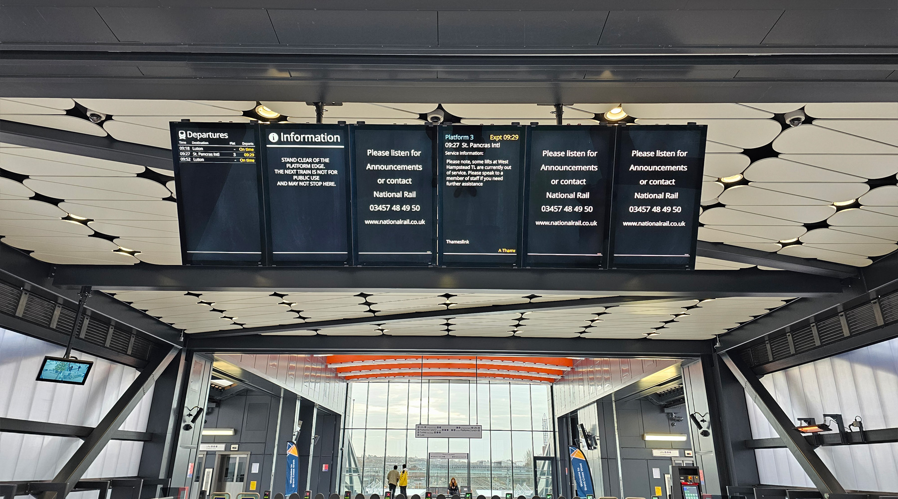
Beautiful station. Beautiful housing??? Hmmm.. . And will there be more trains?