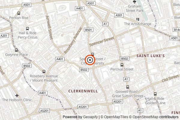
Location
EC1V 4NB
Dates
This exhibition CLOSED on Fri, 31st May 2019
This exhibition has finished.
Cost: Free of Charge
Description
Examine the fascinating development and changes that have shaped the character and identity of Islington at our ‘Mapping Islington’ exhibition.
The exhibition highlights selected reproductions of maps from the archives, illustrating the topographical history of Islington from 16th-century rural village to an urban Victorian district.
Note - closed 1pm-2pm each day for lunch.
Contact and Booking Details
More information at this website.
No need to book tickets - just turn up on the day.
Disclaimer
The information and prices in this listing are presumed to be correct at the time of publishing, but please always check with the venue before making a special trip.
All images are supplied by the exhibition organiser.
This exhibition has finished.
This event runs over several days/weeks. Dates include:


