This event has finished Took place on: Thursday, 20th Feb 2020
The three historic parishes of Hampstead, St Giles & St George and St Pancras are unusually well mapped. This talk looks at the different maps produced during two centuries, ranging from St Pancras' magnificent survey of 1803, to the Hampstead railway map of 1866, through to the electricity grid maps that St Pancras produced in the 1890s. We look at the maps and also behind them - why were they made, and what do they tell us about 18th and 19th century life?
This talk is based on Simon Morris’s research for the Camden section in the London Topographical Society's forthcoming catalogue of London Parish Maps.
Contact and Booking Details
This event has finished Took place on: Thursday, 20th Feb 2020
Booking details and information at this website.
No need to book tickets - just turn up on the day.
Disclaimer: All information given is correct at the time of compiling the listings. Any questions about the event should be directed to the event organiser. Photos and images used in this listing are supplied by the organiser.
2020-02-20 2020-02-20 Europe/London Camden's parish maps 1720 – 1900 This talk is based on Simon Morris’s research for the Camden section in the London Topographical Society's forthcoming catalogue of London Parish Maps. https://www.ianvisits.co.uk/calendar/2020/02/20/camdens-parish-maps-1720-1900-226437 Burgh House and Hampstead Museum,New End Square, Hampstead, London, Hampstead, LondonLocation
Burgh House and Hampstead Museum,
New End Square, Hampstead, London,
Hampstead,
London,
NW3 1LT
Hampstead,
London,
NW3 1LT
Map
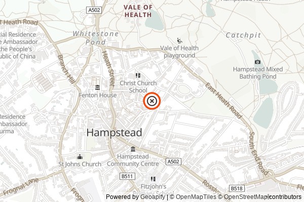
Nearest tube and train stations to Burgh House and Hampstead Museum
What else is hapening in London on 20th Feb 2020
NEWSLETTER