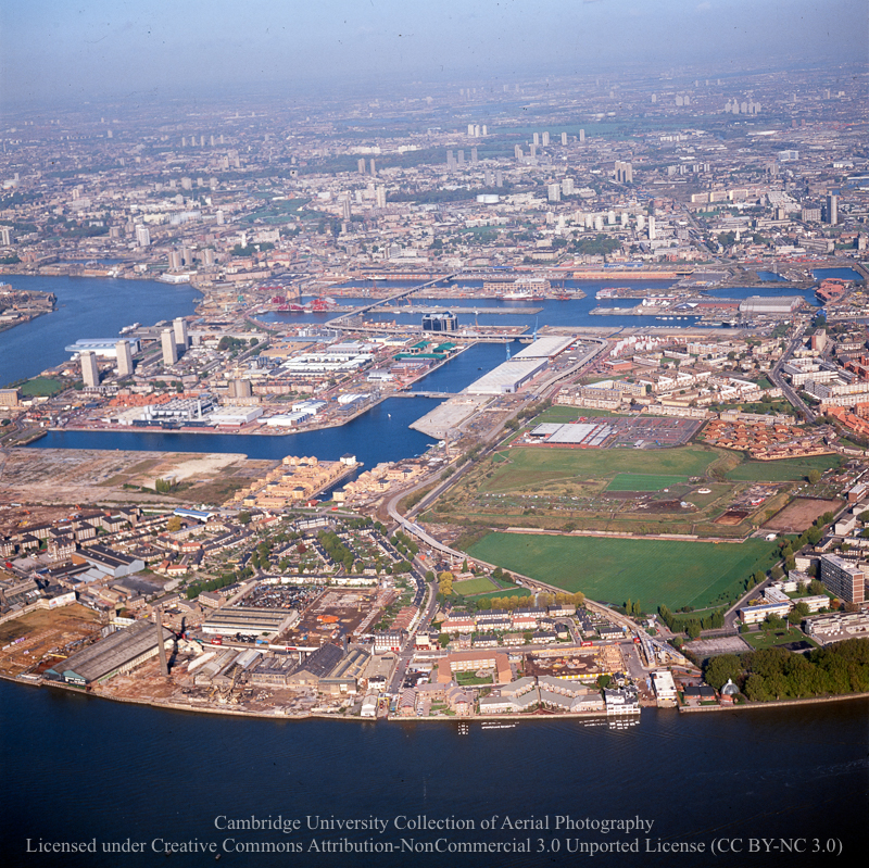
There’s an archive of aerial photos of London held by the University of Cambridge, many of them are recent enough to look familiar, and yet ever so slightly strange.

The Cambridge University Collection of Aerial Photography (CUCAP) is the result of airborne survey campaigns which were started in 1947 by the pioneering JK St Joseph. Since then the collection has grown to almost 500,000 images of obliques and verticals in black and white, colour and infra-red.
That’s a research archive, but a number of medium resolution photos are available for download through the Cambridge University Digital Library website under a limited Creative Commons license.
Click through and do a search, for example, London or Isle of Dogs. On the photos page, you can zoom in a fair bit to see the details.