In 2008, Google started driving their camera-cars around the streets of London, capturing images that have been semi-regularly updated ever since.
It’s proving to be a surprisingly useful resource when trying to see how things looked in the recent past, and could well build up over the decades into a most impressive collection of timeline photos.
Looking back, it’s also a way of seeing just how fast London’s skyline has been changing over the past decade.
To use the archive, go to a location on Google Street View, then click on “Street View” at the bottom of the black box in the top-left corner — and a selection of previous dates where photos were taken at roughly the same spot will appear.
A few samples to whet your appetite
Aldgate East
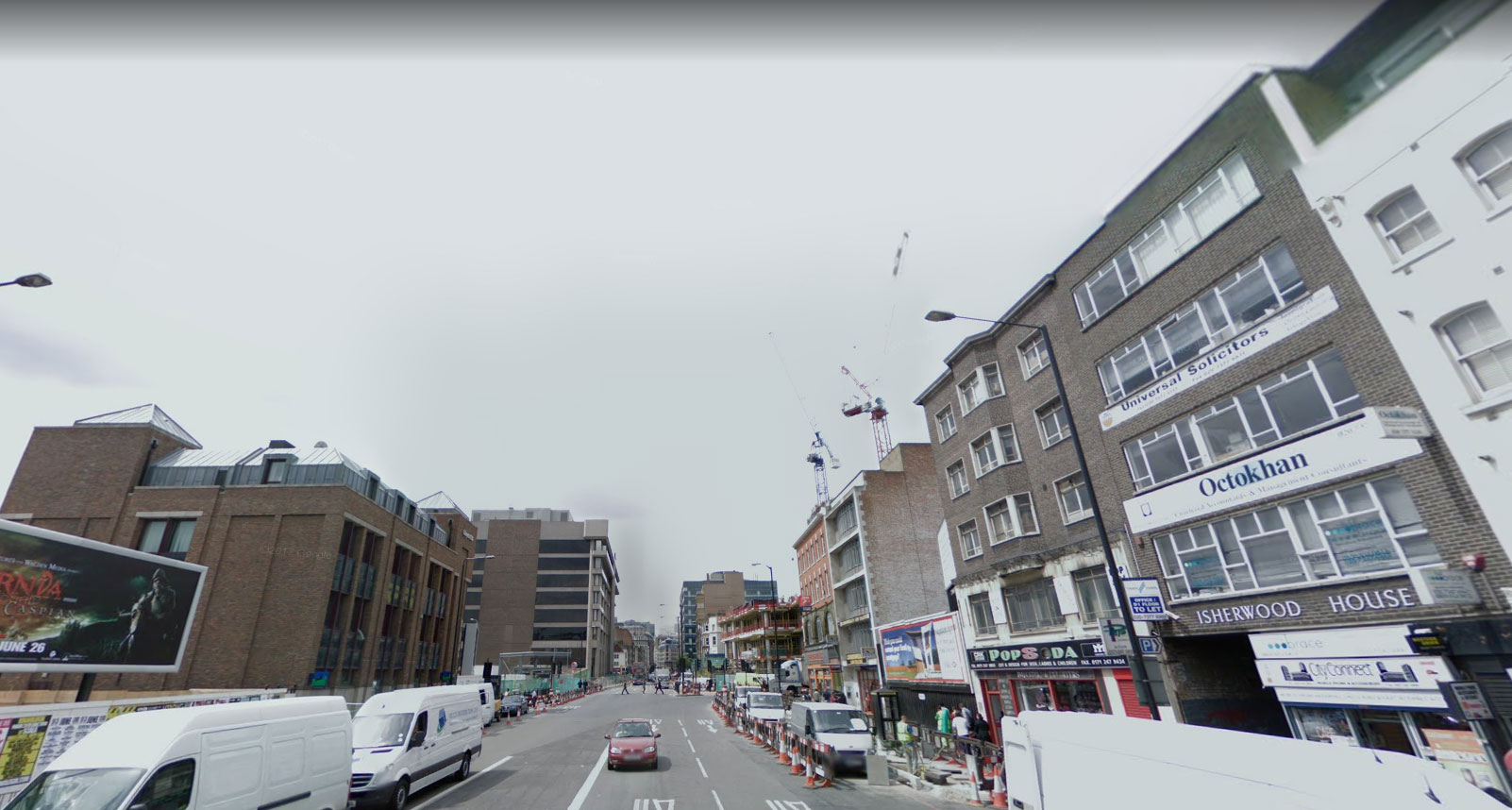
2008
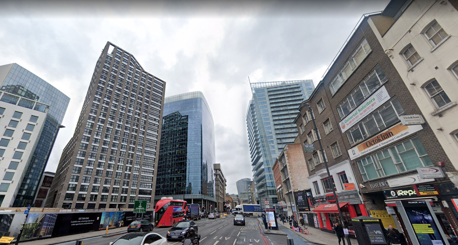
2018
Bank
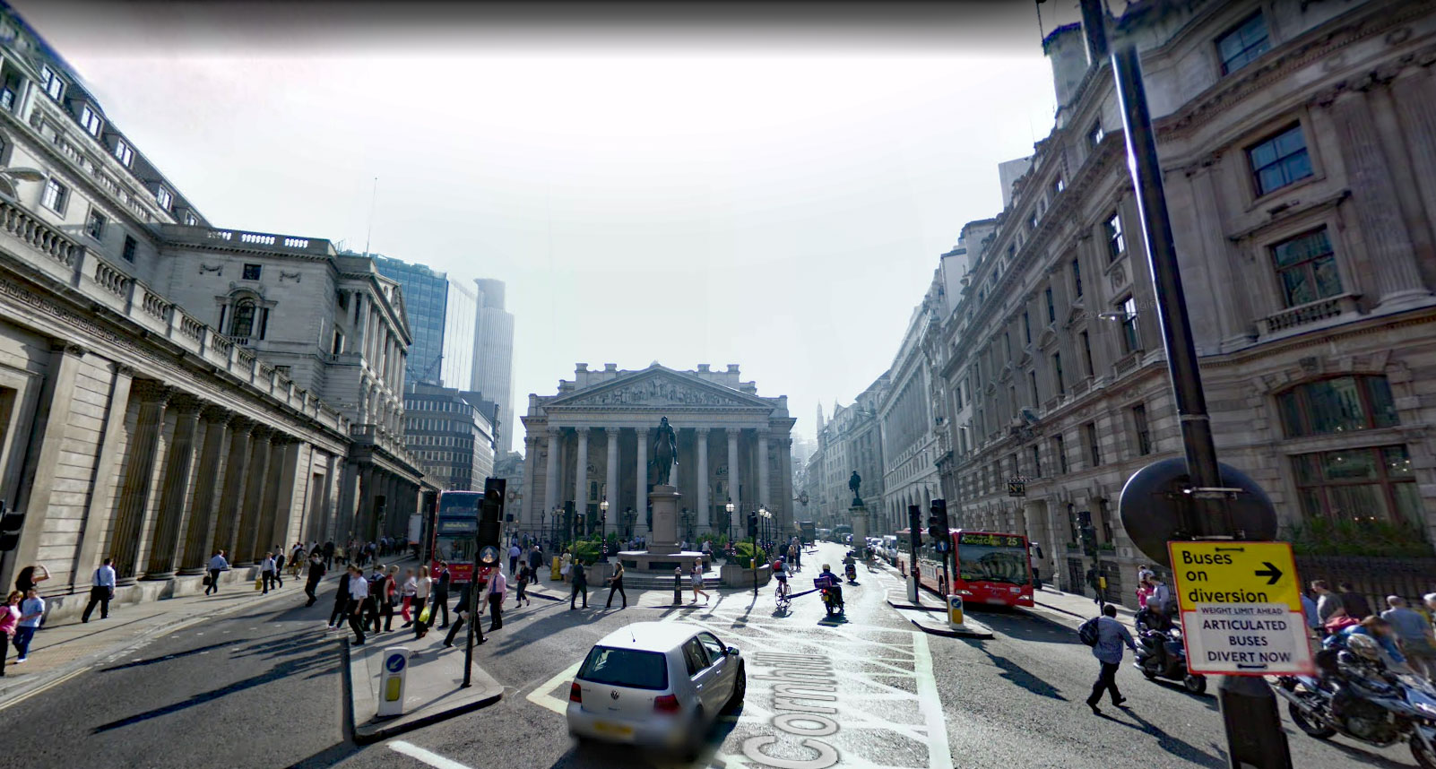
2008
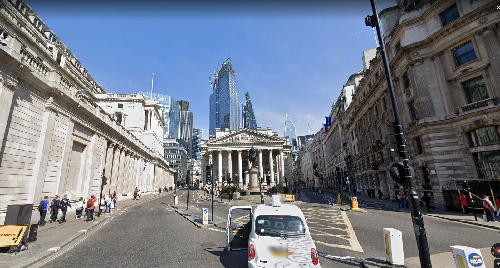
2019
Dorset Place, Stratford
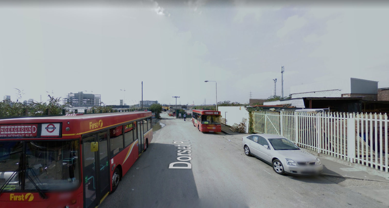
2008
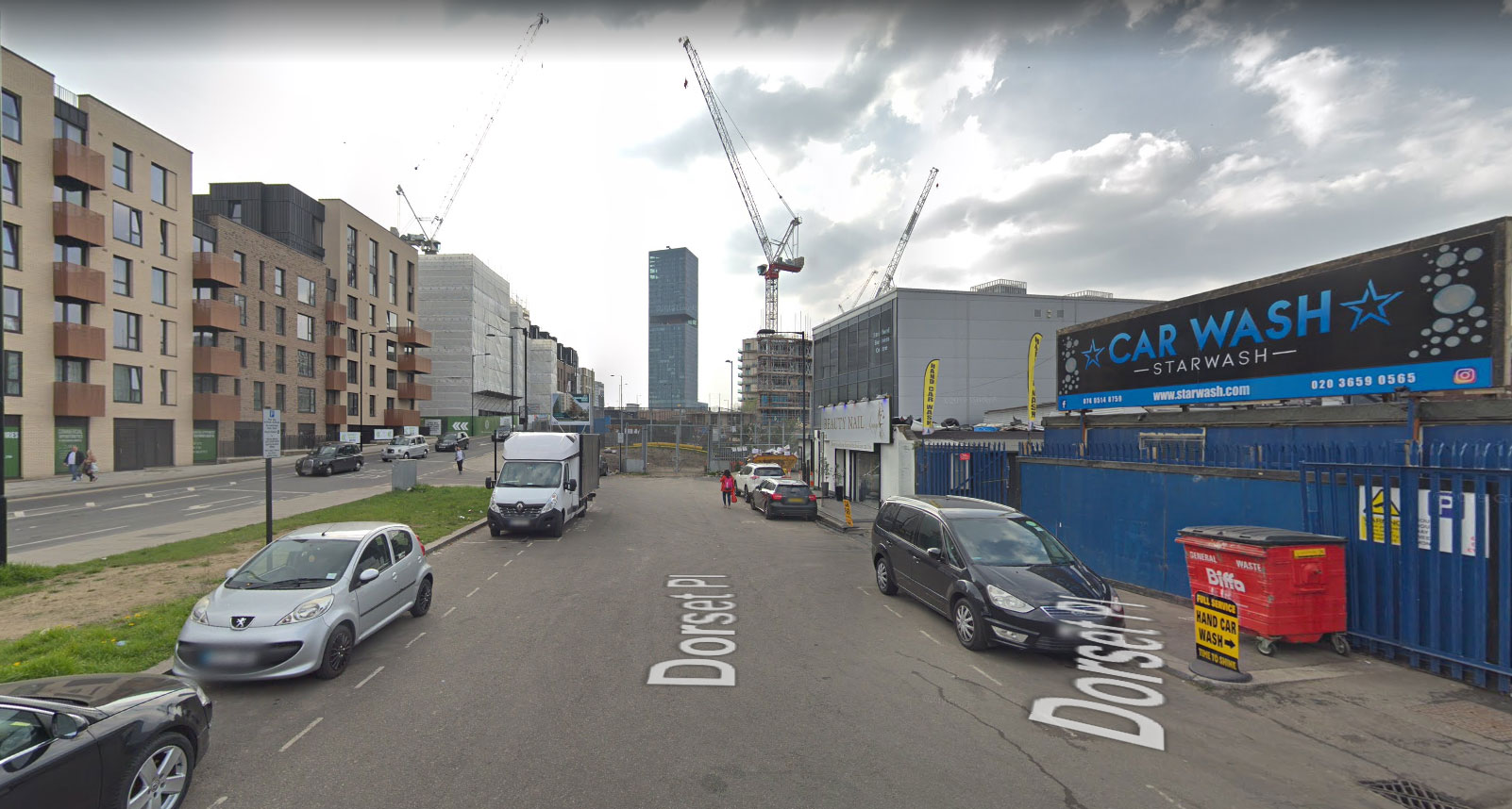
2019
Liberty Bridge, Stratford
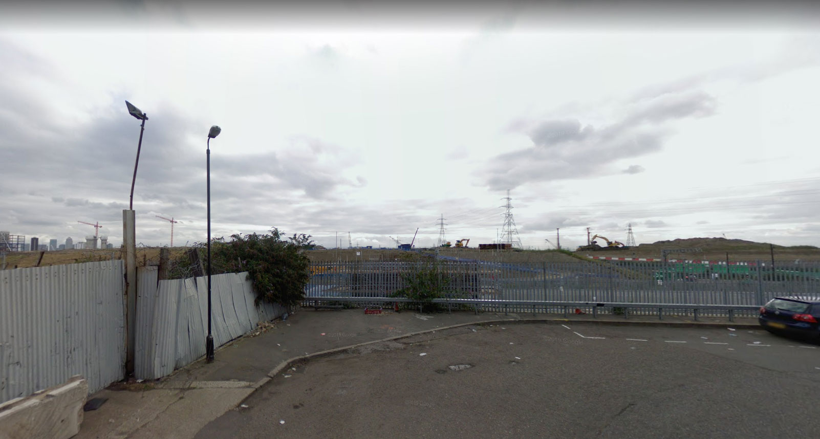
2008
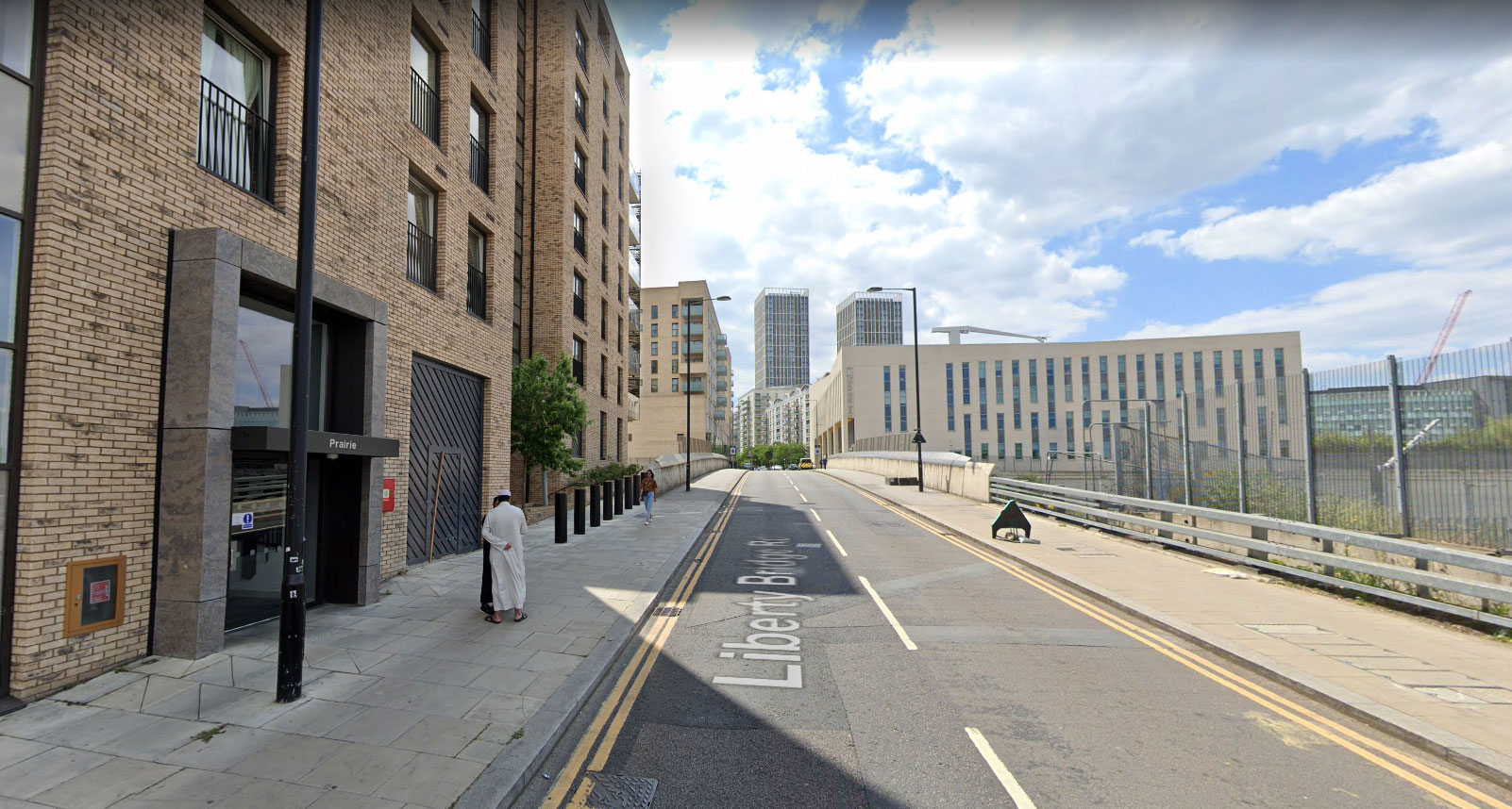
2019
Nine Elms Lane
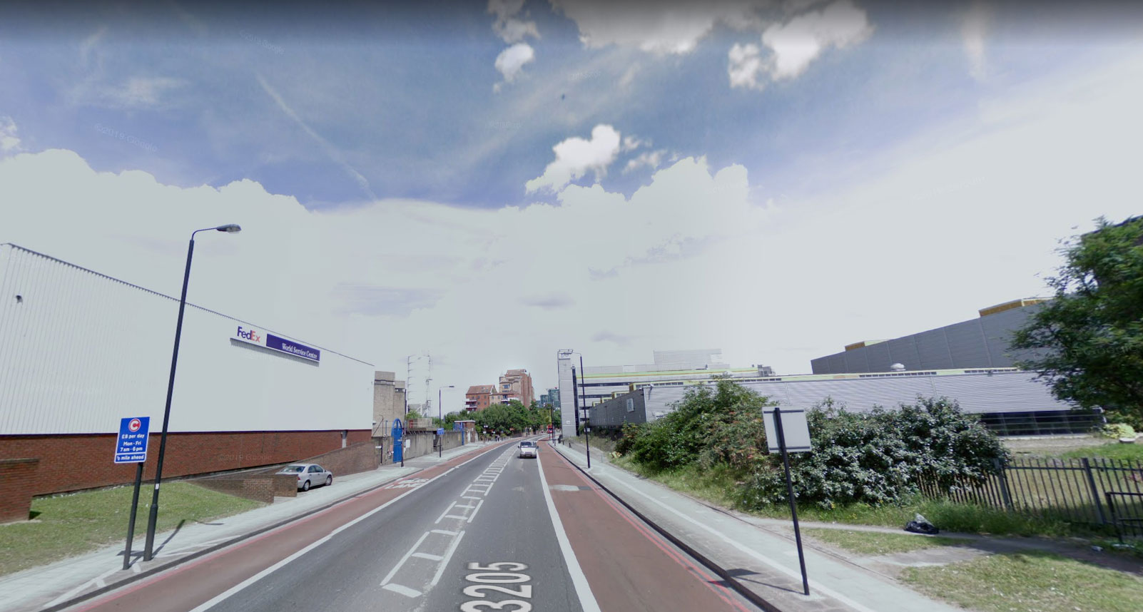
2008
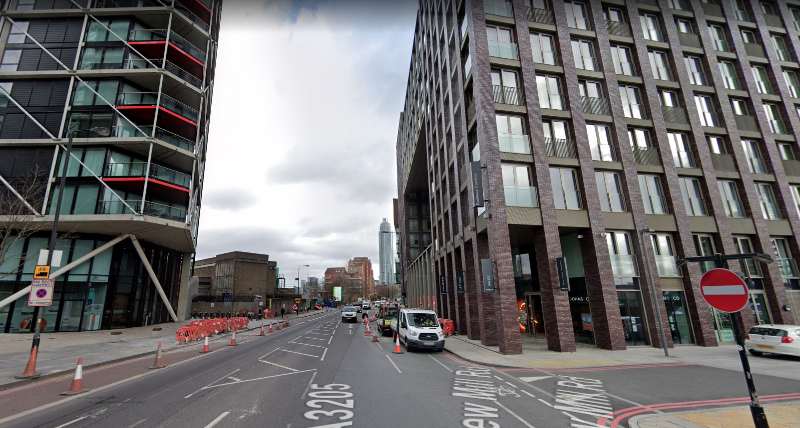
2019
South Quays, Docklands
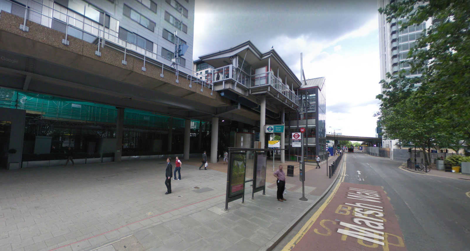
2008
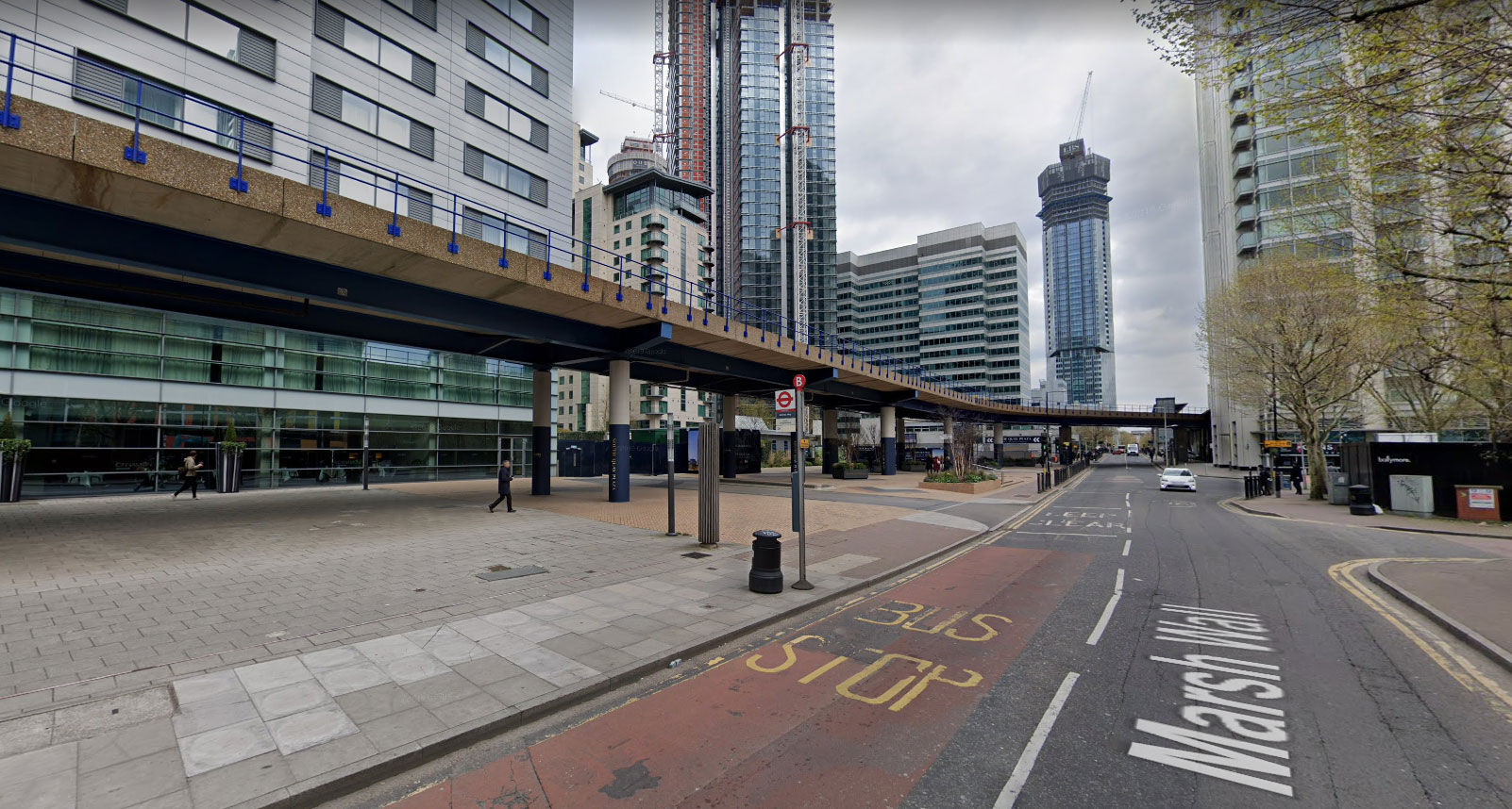
2018
Temple Mills Lane
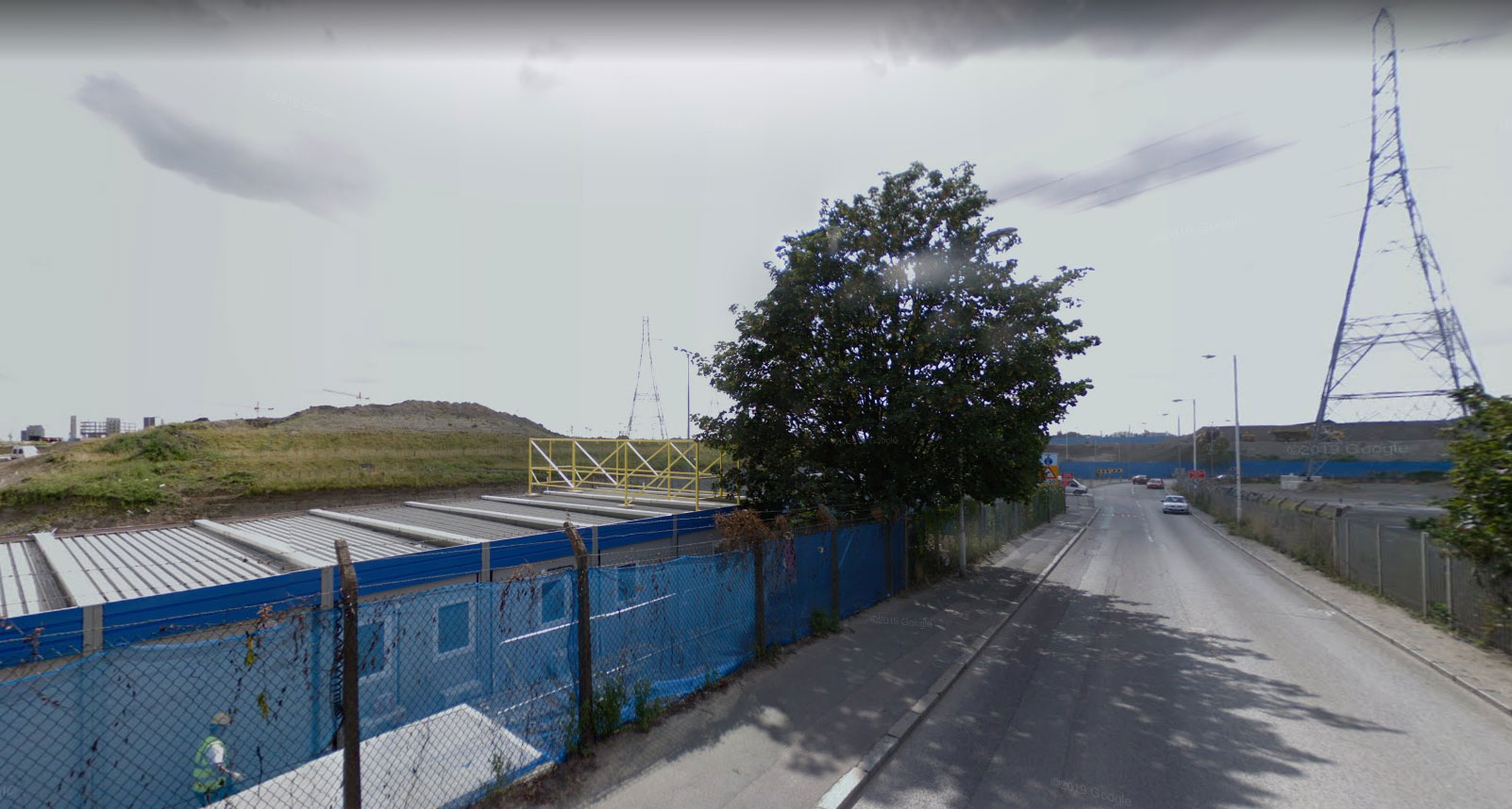
2008
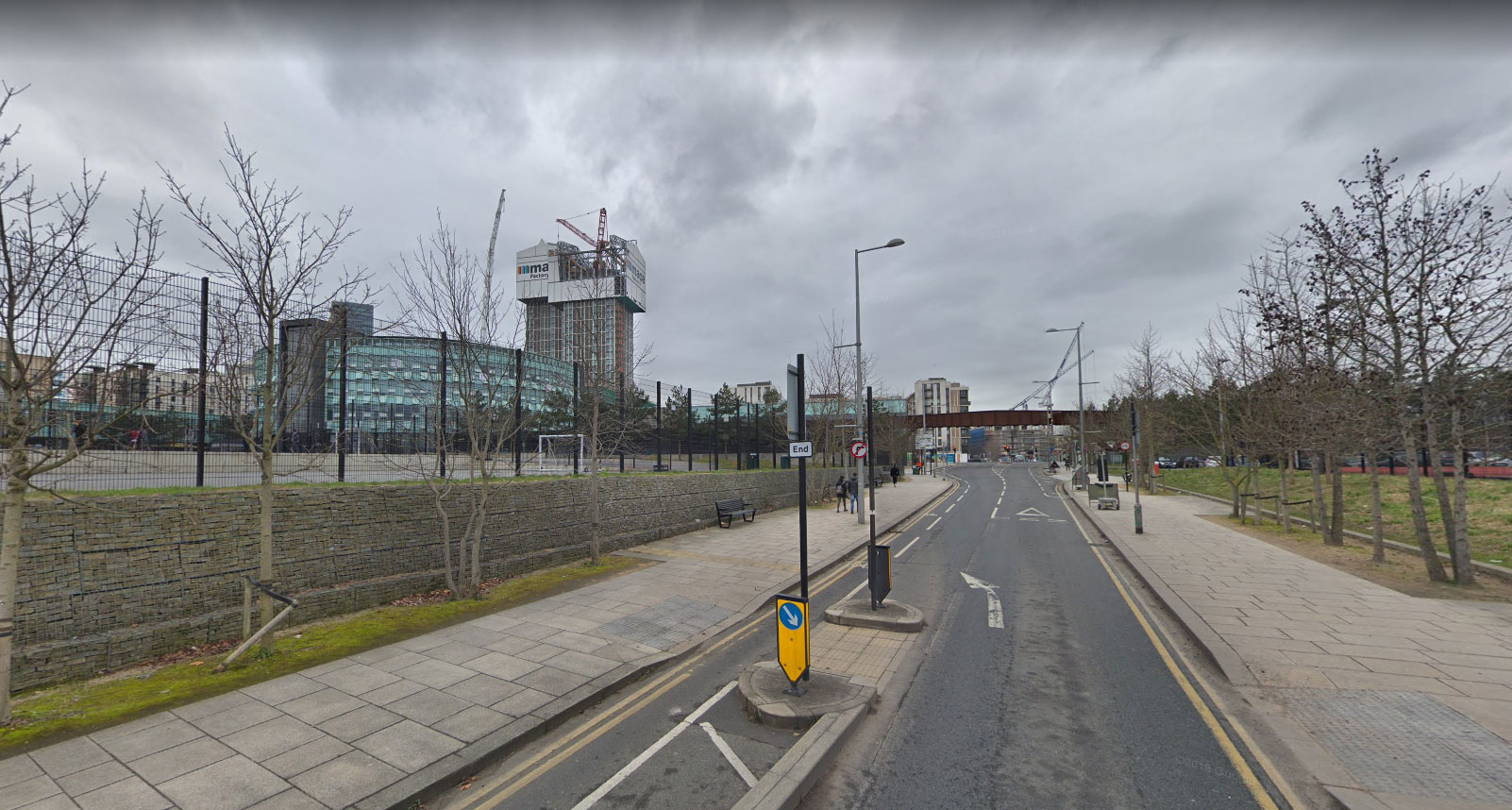
2018
Tower Bridge
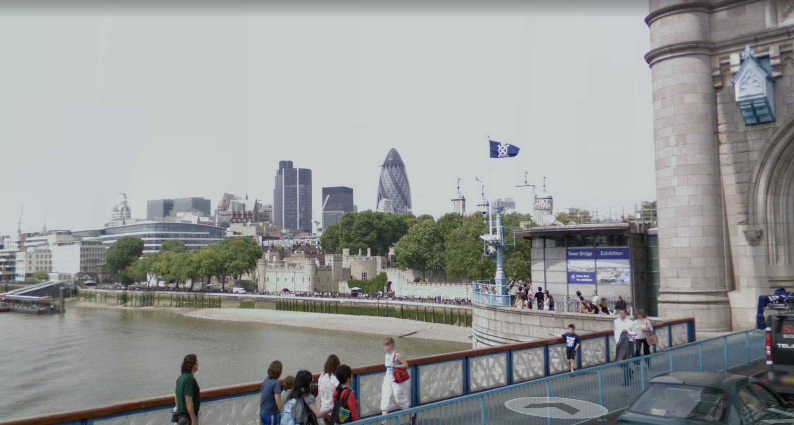
2008
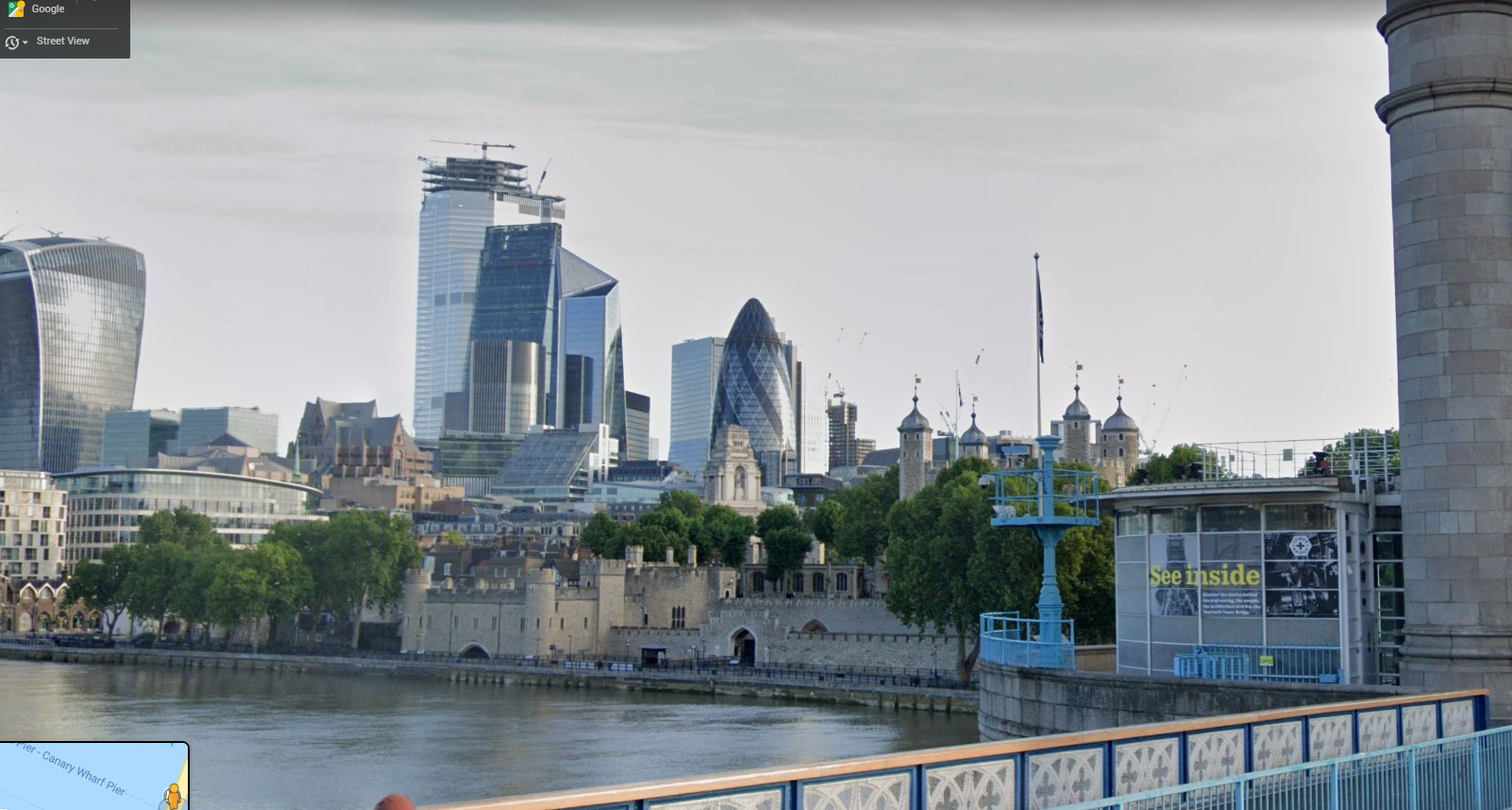
2019
Walworth Road
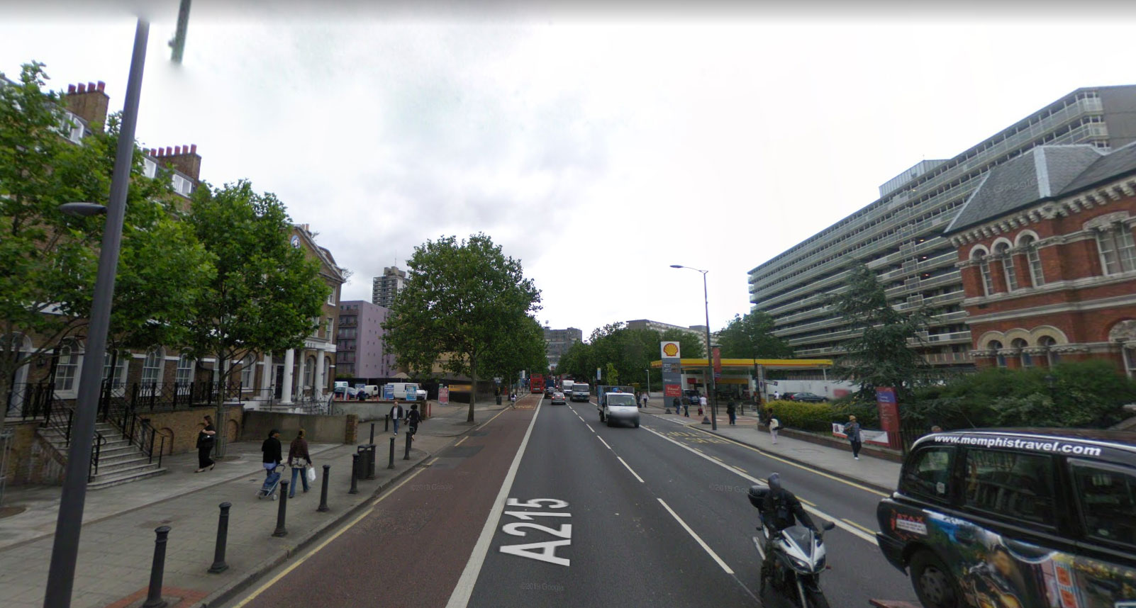
2008
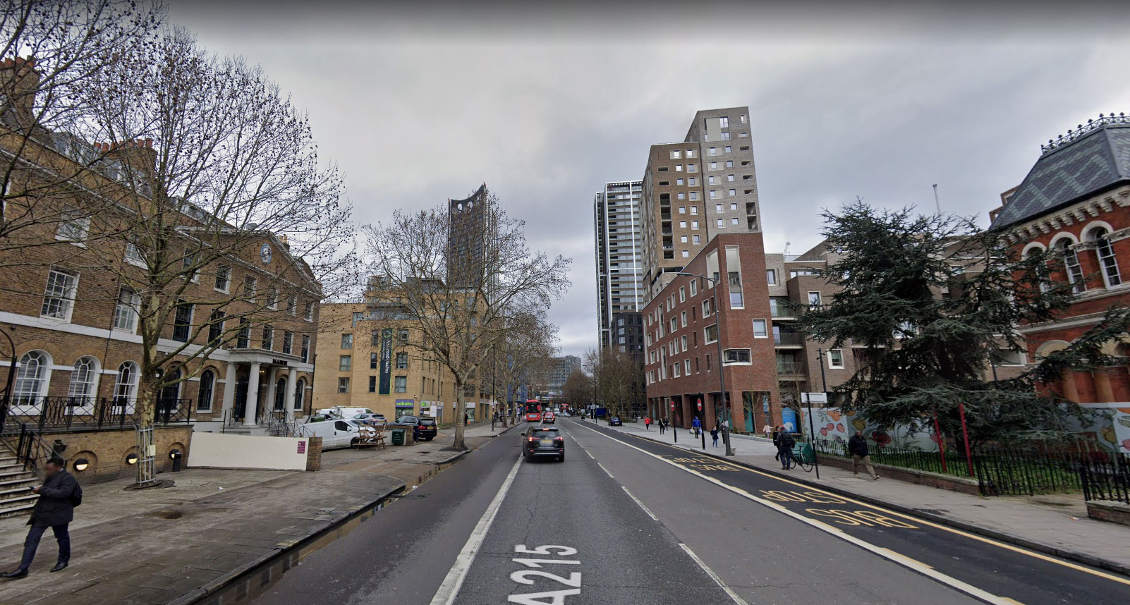
2019


Well spotted 👍 I didn’t know about this, must check it out.
Interesting.
I was at Aldgate East recently, thought I didn’t recognise anything much which I put down to senility as I worked there for a while around 1995.
I’m not loosing it after all!
Hmmm, doesn’t work on my Android tablet. I guess it does work on a Windows PC.
You can also, if you use Google Earth, go all the way back to 1945 on the satellite views of London.
In the Windows version (rather than online) the seventh button allows the date to be changed. For London there’s 12/1945, 12/1960, 12/1984. The main photos start from 9/1999.
Hmmm, did Google get satellite views in 1945!
Also…. you should have sepia effected the before pictures.
Up, up and away. Bloody skyscrapers and nary a one showing much architectural merit or effort or élan even.
This is London after all, not some look at me punching above its weight capital city of a, what do I call them, developing country. All power to their elbow of course and welcome to the 21st century n all, but there’s a great history of innovation and tradition in this country so why do we have these generic glass phalluses thrust upon us? Like a shopping mall, they could be anywhere in the world.
Try looking at the Lloyd’s building on Leadenhall Street on Streetview, go down Lime Street to its left and all of a sudden the brand new behemoth opposite disappears into I-beam frames and a crane. Change at a rapid rate indeed.
I’m sure that there’s more than this example.
Est-ce qu’on y trouve la moitié de l’Afrique du Nord comme à Paris ? Si oui, vous pouvez m’oublier 😉
Is half of North Africa like Paris? If so, you can forget about me 😉
this spot on city road has had an amazing contrast
https://goo.gl/maps/EmA2r7iB5ovFGaZYA
https://goo.gl/maps/4CReXCNZfLC7D1g38
Corner of city road and central street
Echoing Kevin Roche’s post, I too am amazed at the changes in Aldgate. I knew the area well in the 1970s so the transformation is even more remarkable than the mid 1990s. Last time I visited it felt like being in another city entirely only the familiar London Underground roundel at Aldgate Station gave the link.