This riverside park features a tall man-made mound surrounded by a cluster of barrows offering views across southeast London.
This is Gallions Reach Park, an extension created in 2017 of an older park that was created on the site when the Thamesmead estate was built. The area is named for the Galyons, a 14th-century family who owned property along this stretch of the river, and there are various locations on both sides of the river named after it.
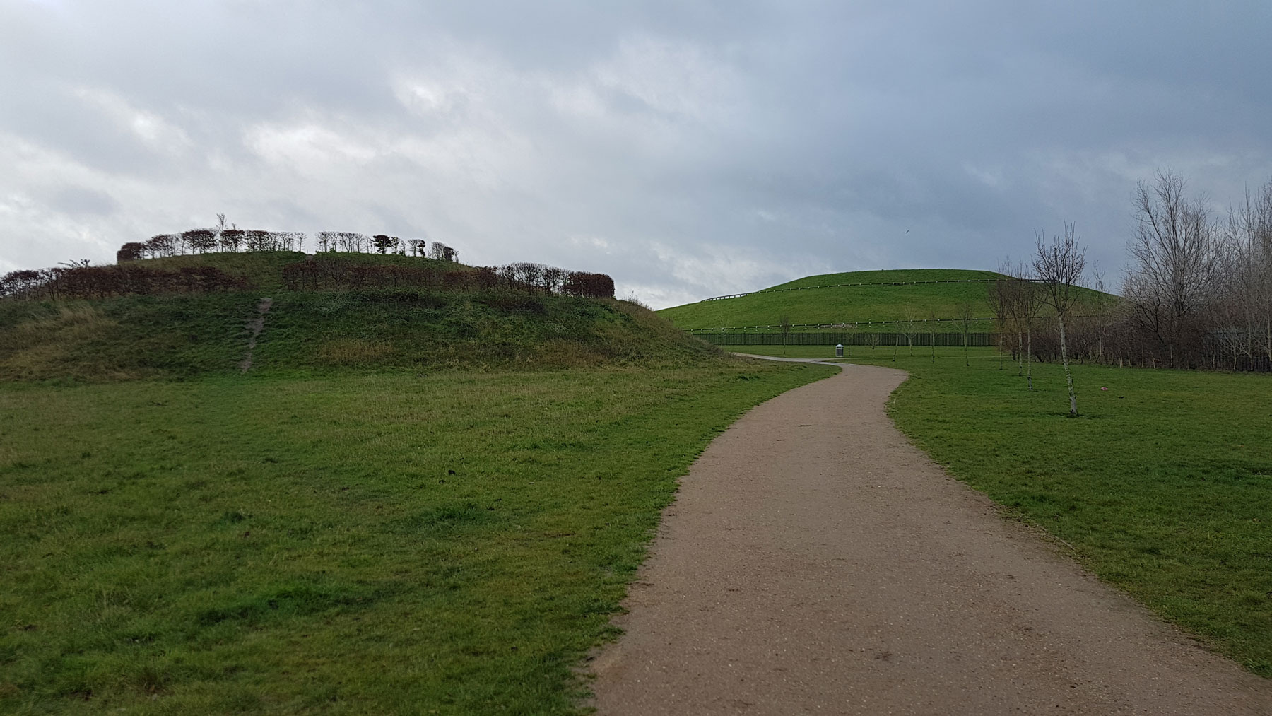
The dominant feature though is Gallions Hill. In fact, there’s a cluster of hills, all eyes are drawn to the mother hill that dominates the site. This is a man-made hill, made from recycled excavated material, so in design and construction, it’s very similar to Northala Fields in Northolt.
The tall conical mound was constructed from the rubble left over from the housing estate that surrounds it, which results in an end result that’s not just appealing, but also saved a lot of money in shipping all that rubble to a dump elsewhere.
A paved spiral path leads up to the top, although it’s clear that there are a few short-cut desire paths that were probably safer to use on a day other than one when it was pouring down with rain. There’s a sense of completeness though in following the spiral all the way to the top, and up here, some benches and compass marks in the floor tiling.

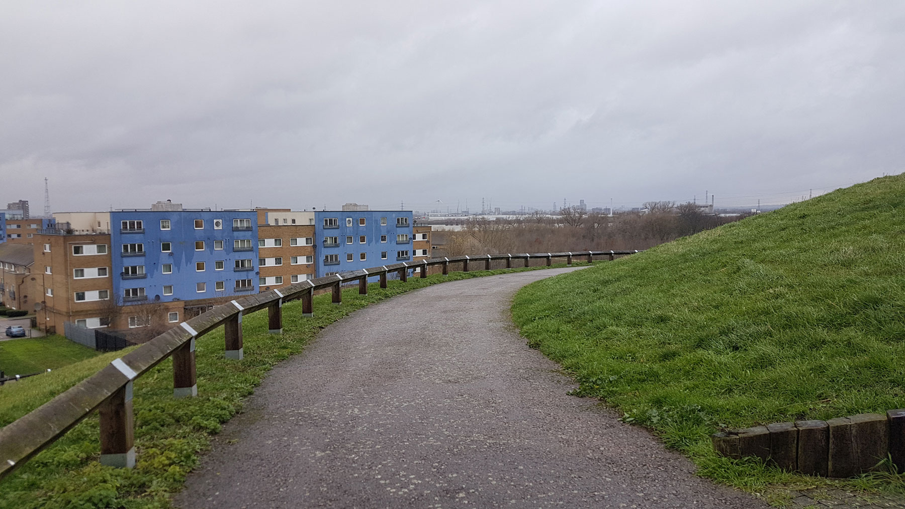
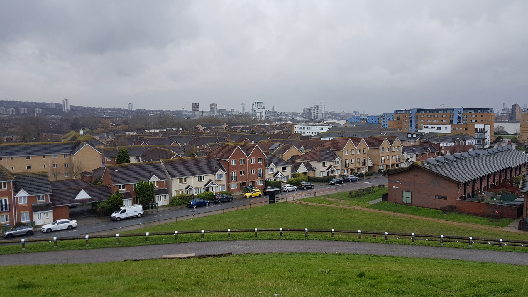
Up here, the views reach across much of the area, even if frankly, there’s little that’s particularly exciting to look at. It’s not a tourist venue, but that’s part of the appeal, to see above the houses and industrial estates in a way that would never attract a visitor attraction. Especially on a cold windy wet December.
I would say that on a clear day the views would be far better of the City of London, and it looked like I could just about make out the Queen Elizabeth bridge at Dartford.
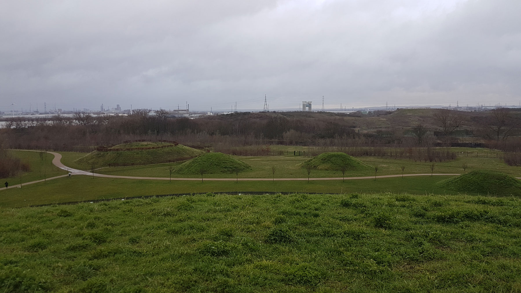
A smaller cluster of hills sits to one side, of which one, known as Lookout Hill is also easy to climb, and is lined with hedges and rough paths that are to my mind more enjoyable to climb up.
There’s a small children’s park as well, for those who prefer to stay closer to sea level.
A riverside sign says that the park was created from land left over from the Royal Arsenal, and was opened in 2017, although the land was already being planted and prepared back in 2012. The land is still owned by the housing developer who built the nearby homes, and just leased to Greenwich Council on a 21-year lease, albeit at a peppercorn rent.
The revamping of the area was carried out by Terrafirma, and while on a cold winter day the area was quite desolate, the park is filled with wildflowers in the summer months.
Access can be either from the housing estate, or in my case, as a pleasing diversion from a walk along the riverside.


