This is a very steep alley up the slopes that face Finchley Road in South Hampstead. Its origins likely lay with the early development of the farmland into housing as there seems to be no precursor for the alley, it just appeared on maps when the houses arrived.
Most of the land around here was owned by the Maryon-Wilson baronets who acquired it following the Dissolution of the Monastries, but when the 7th Baronet, Sir Thomas Maryon Wilson died, he split the land between his three sons. One of them was to become rather notorious for his attempts to develop his large plot of land which would have imperilled Hampstead Heath had he succeeded.
It was the younger son, Sir Spencer Maryon Maryon-Wilson who had rather more fortune with his patch, being much closer to expanding London, and was able to start developing it into housing and shops.
This area of development was done somewhat piecemeal between the 1880s and the 1920s.
At the bottom of the alley, the building that’s currently a bank seems to have been a bank ever since it was built. On the other side, also dating to around the same time is the North Star pub.
Between the pub and the alley though is a more recent block of flats, Maresfield Court, which was added later on land that had been a school playground.
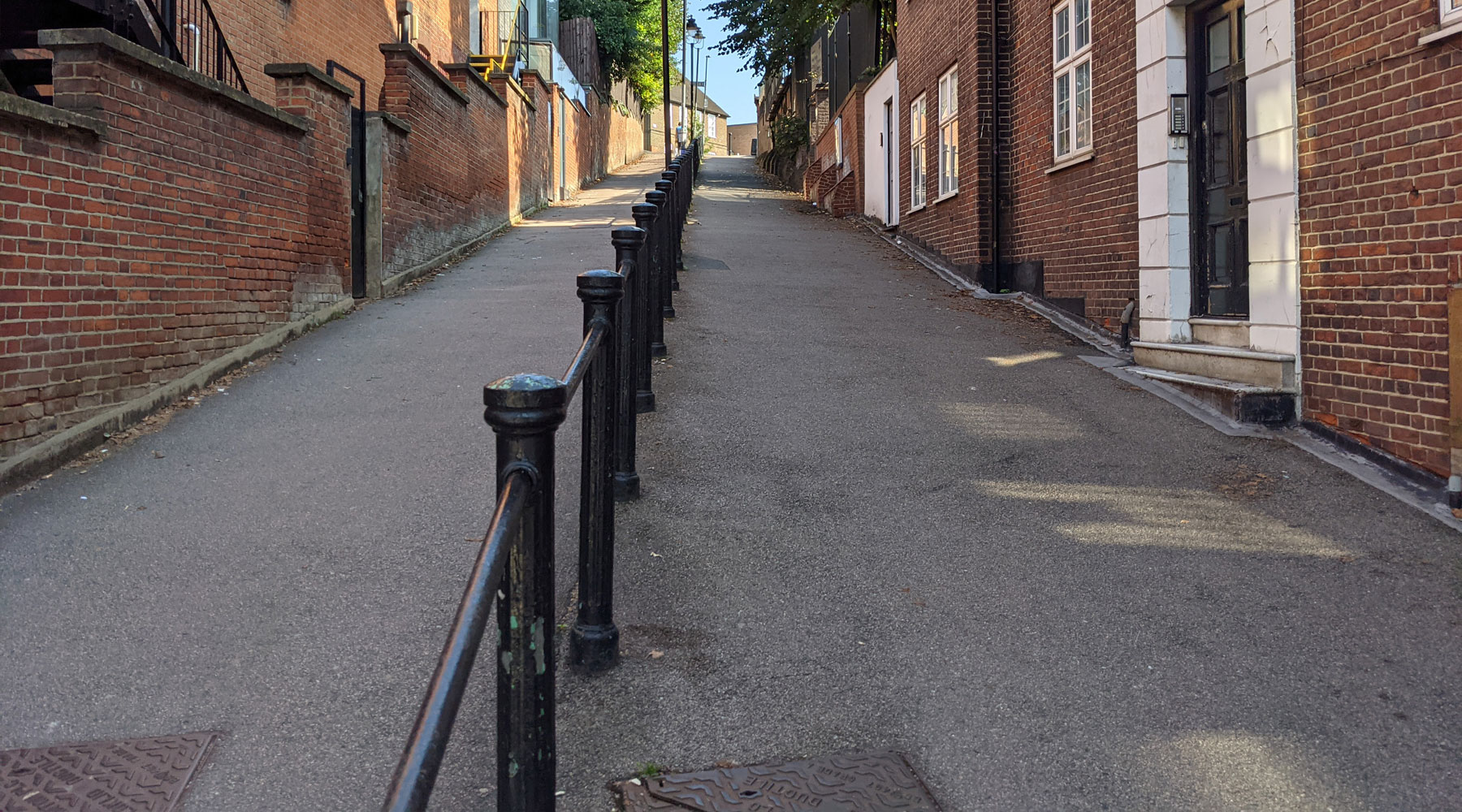
The path heads up a very steep slope, and running down the middle is a set of bollards and handrails to help people get up and down, which is probably especially useful in bad weather. There aren’t handrails on the outer sides of the alley though, as there are some properties that have entrances into the alley.

At the top of the steep climb are two schools, the Holy Trinity Church of England primary school, and at the very top, the South Hampstead High School, which is part of the Girls’ Day School Trust (GDST). The School was established in 1876 by the GDST and moved to its present site in May 1882. The modern school building replaced a cluster of older buildings in 2014.
One final note, the alley was originally known as Maresfield Path, as it leads to the road of the same name, but changed its name to Trinity Walk some point after WW2.


Ah, what a nice reminder of this hilly little path! I remember it from some time doing some work with the Tavistock and making my way down to the tube or overground afterward.