The alley is named after the former parish of St Benet de Garscherche, later St Benet Gracechurch, a long since demolished City church.
The parish centred on the church dedicated to St Benedict on the corner just to the south and may have been associated with a local hay market, hence Gracechurch (Grass Church), although that attribution is uncertain. According to John Strype, the church was repaired and beautified in 1630 and 1633 and it contained a monument to Queen Elizabeth I. The parish registers also record a child named Grace Church, a foundling left to be cared for by the parish.
The church was destroyed in the Great Fire of London, and then rebuilt by Wren, only to be demolished in 1868 so that the main road could be widened. The land was sold for £24,000 and the proceeds used to build St Benet Mile End Road (which itself closed in 1951).
Back to Tudor times though, and the area was houses fronting onto streets, with gardens behind, and while there was probably a gap in the buildings to give access to the back, the earliest hint of an alley in the this location is the Agas map of 1561 which shows the whole block built up, and some oddly positioned buildings where the alley might have been.
Used to be a bit longer and linked up with a couple of courtyards at the rear which could have let you once walk through the entire block. That got cut off sometime in the 18th century.
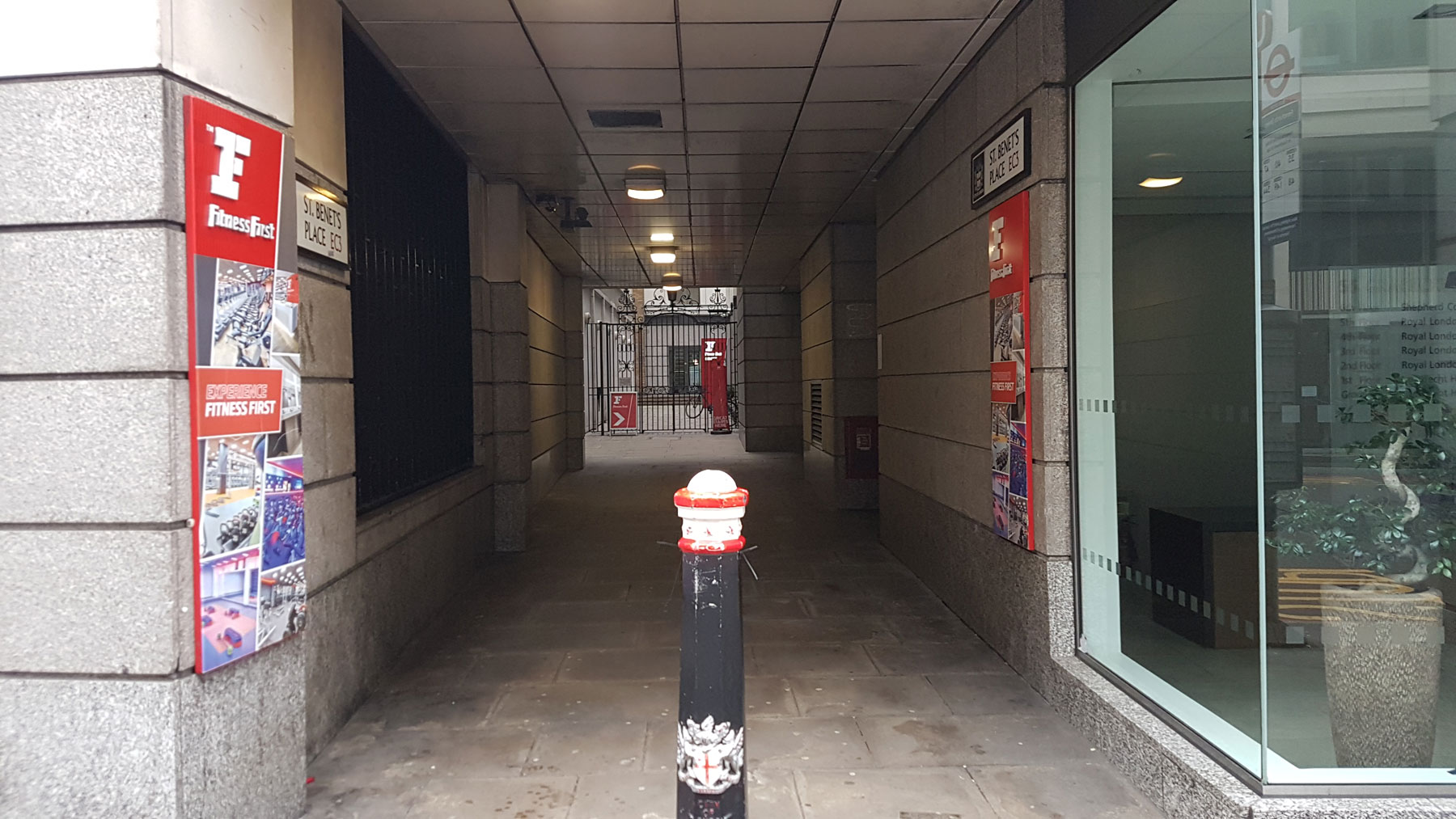
Since then it seems to have had a fairly ordinary London life, of small buildings slowly merging into larger offices and in the post-war rebuilding into the layout we have today.
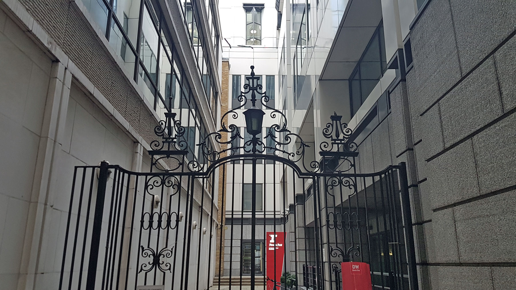
All the buildings are rather bland 1990s rebuilds, but there is one lovely survivor down here — a pair of 18th century decorated wrought iron gates with side panels and plain, curved railing beyond.


