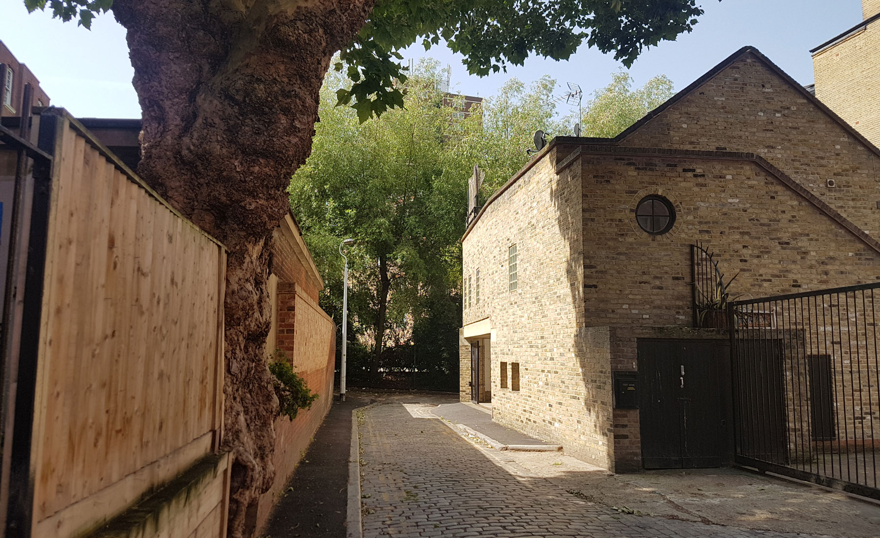
This vintage looking alley is probably named after the Ship and Mermaid public house which used to be at Snowsfields, and is today a curious curve around a corner, squeezed between social housing.
This part of Southwark was largely untouched until the late medieval period, probably because it was quite swampy at the time with the much wider River Thames just to the north. The area really built up in the Elizabethan times though as businesses moved to the area to be close to the City of London, but outside its legal jurisdiction.
By the time of Hogg’s map in 1784, most of the area had been developed, and key streets like Snowsfields and Crucifix Lane were established, and the area was known for its leather trade dominated by tightly packed filthy tanneries and tiny terraced houses.
An account by Charles Dickens Junior records, “The neighbourhood in which it stands is devoted entirely to thinners and tanners, and the air reeks with evil smells. The population is peculiar, and it is a sight at twelve o’clock to see the men pouring out from all the works. Their clothes are marked with many stains; their trousers are dis-coloured by tan; some have apron and gaiters of raw hide; and about them all seems to hang a scent of blood.”
What is today one passage, was in fact once two — the main Ship and Mermaid Row, and the shorter length was rather grandly called King’s Row. That seems to have changed in around 1878 when the Metropolitan Board of Works renamed a number of streets in London.
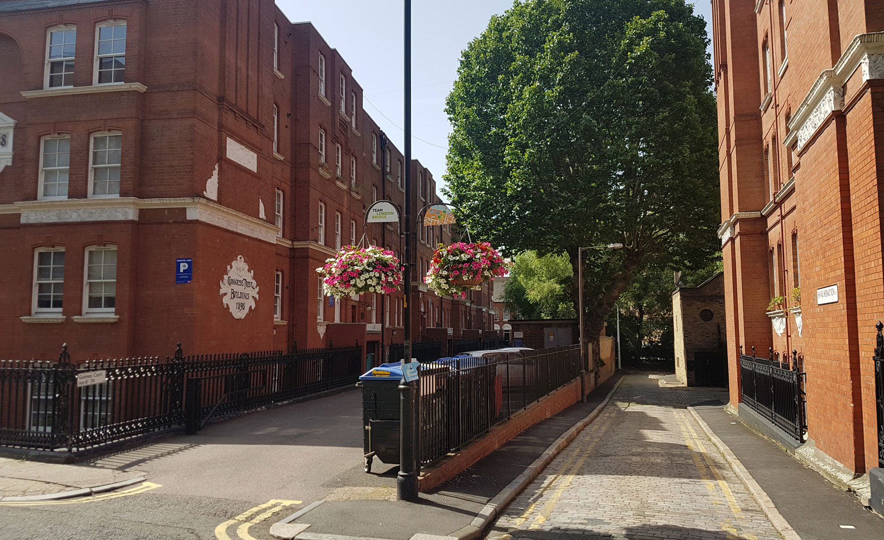
A report in the Wellcome Collection noted that in 1893 most of the houses were empty and ruinous and those remaining in a rotten and overcrowded condition. The report suggested wholesale demolition, and by happy chance, that’s what happened around the area for straddling either side of the passage are the Guinness Trust Buildings.
In 1890, philanthropist Sir Edward Cecil Guinness, the great-grandson of the founder of the Guinness Brewery, gave £200,000 to set up The Guinness Trust in London to build homes for the poor.
Sadly that was to see the pub that gave its name to the alley demolished as it sat on the plot of land to be turned into homes for the poor, which was double-shame as the pub had been an activist meeting point for the Chartists who campaigned for political rights for the working classes.
They lost the pub, but gained decent homes.
The housing built, the Survey of London still described Ship and Mermaid Row as a “dirty little alley” in 1912.
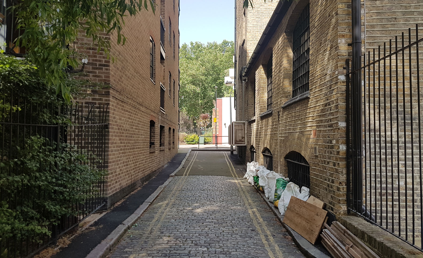
The area was badly damaged by WW2 bombs, but the alley and its warehouses survived. In the 1980s they were converted into posh flats, and that’s pretty much how the alley has remained ever since.
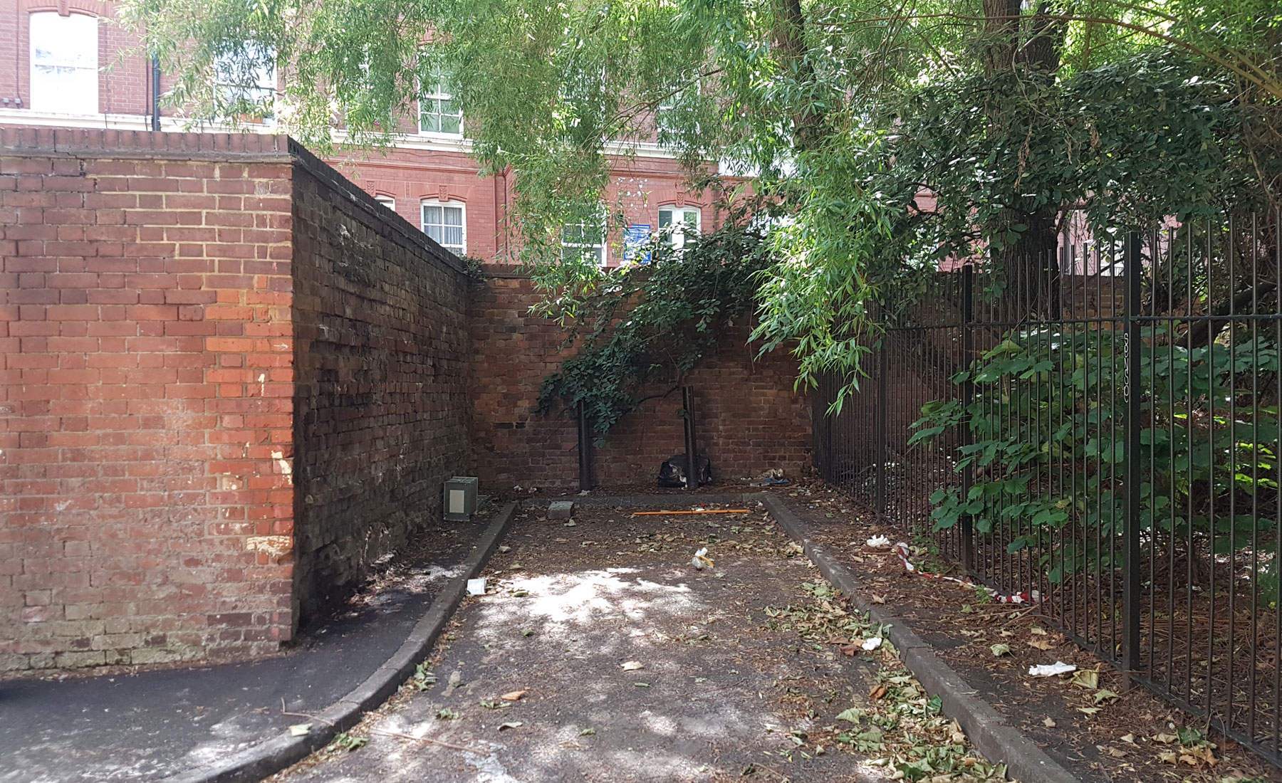
An old tree squeezes out through the fences and casts a pleasing shade over the area. An odd little spur leads to nowhere, but to stop it from being used as a single-occupancy car park, it’s still lined with yellow lines underneath the litter.
The 19th-century cobbles/setts are still intact though, giving the area a heritage feel.


